By Naomi Bloch
This Wednesday, November 18, marks the 16th annual GIS Day. Throughout the week, Geothink will present a series of posts looking at some of the ways in which our collaborators, partners, and friends around the world are critically examining and using GIS as a tool for civic engagement and understanding.
The community snapshots presented this week highlight diverse perspectives and uses for GIS.
If you’re looking for a way to introduce friends to the wide-ranging sphere of GIS, look no further than Toronto’s Ryerson University campus on Wednesday.
Geothink’s Claus Rinner along with GIS and Map Librarian Dan Jakubek have a full afternoon of events scheduled for GIS Day. They’ve lined up three keynote presentations, each of which will explore very different GIS applications: Senior Landscape Ecologist Dr. Namrata Shrestha will discuss her work with the Toronto & Region Conservation Authority; Andrew Lyszkiewicz from the City of Toronto’s Information & Technology Division brings in the municipal GIS perspective; while the Toronto Star’s Matthew Cole and William Davis are on hand to cover the growing role of GIS, mapping, open data, and data analysis in the media.
Apart from keynotes, there will be a poster session, geovisualization project displays, as well as several practical demonstrations of GIS and geoweb tools in action. Neptis Foundation, a Geothink partner, is one of the participating organizations. According to the Neptis Foundation’s Adrien Friesen, he and colleague Vishan Guyadeen will be demonstrating their soon-to-be-launched geoweb platform, “an integrative web mapping tool for the Greater Golden Horseshoe, created to help residents, researchers and decision makers better understand what shapes our urban and rural environments. It allows users to select different spatial layers that they can overlay and view different infrastructure, political boundaries, and protected areas (among many other things), to visualize the region in which they live.”
A full itinerary of the afternoon’s events can be found on the Geospatial Map & Data Centre website. While you’re on campus, you might want to check out the Geospatial Map & Data Centre itself. Ryerson Library’s communal lab is a dedicated space designed to support collaborative work with GIS, data, and related geospatial and statistical software packages.
Date: Wednesday, November 18, 2015
Time: 1:00 pm–5:00 pm
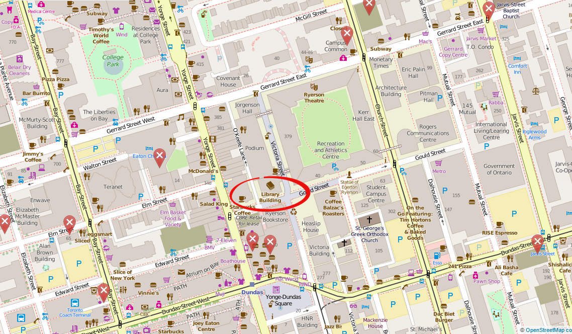
Location: Library Building, LIB-489, 4th Floor, 350 Victoria Street
For more of Geothink’s GIS Day coverage, see:
- GIS in the Classroom: Geography and the Law
- GIS in the City: Toronto on the Map
- GIS & the Global Community: Humanitarian Mapping
If you have thoughts or questions about this story, get in touch with Naomi Bloch, Geothink’s digital journalist, at naomi.bloch2@gmail.com.