Tag Archives: geothink students

The Future of AR: Negotiating Virtual Space Guided Movements


This is a guest post from Geothink student Wei Jiang at the University of Ottawa, Faculty of Law, under the supervision of Professor Teresa Scassa.


By Wei Jiang

While not everyone is out to catch ‘em all, few people in Canadian cities and in many countries around the world are unaffected by the recent Pokémon Go craze. Alongside the wide range of more or less amusing incidents that have been reported arising out of Pokémon Go, articles have also explored the current legal ramifications of this popular Artificial Reality (AR) app. In this blog post, I explore the possible legal developments that may be necessary in response to the potential explosion of AR apps like Pokémon Go.

Though the Pokémon Go craze appears to be fading, the impact of the popular AR app, which overlays virtual critters (Pokémon) on the geography of the real world, is likely to remain. Already, Niantic and other app developers are working on the next wave of games that redefine how we interact with our physical surroundings. Furthermore, as Virtual Reality (such as Oculus Rift and HTC Vive) and wearable technologies mature, AR apps could see a further boost in popularity.

Currently, legal analysis of Pokémon Go focus mainly on the impacts of the app in terms of the existing legal framework. These include legal actions like trespass, nuisance, and infringements of intellectual property (IP) rights. Homeowners not only face the prospect of trespassers damaging their property, but could also be responsible for harm that trespassers sustain on their property as part of their occupier liability. Indeed, with homeowners responsible for the conditions of sections of the sidewalk in many Canadian cities, the increase in the number of pedestrians playing Pokémon Go could present a significant risk. At the root of these potential legal actions is one fundamental reality: someone has altered the qualities of a physical space (be it a home, park, or restaurant) by designating it as a virtual landmark known as a “Pokéstop” or “gym”.

In broader terms, the challenge posed by AR apps is who can decide the qualities of the virtual space that overlays the physical world. Although future AR apps may not turn real world locations into “Pokéstops” and “gyms”, the core attraction of AR remains unchanged: the juxtaposition of the real world geography with a set of virtual meanings and rules. Currently, it is Niantic (the company behind the overlaying of virtual materials over physical geography) that asserts the right to determine the meanings associated with virtual space, presumably because the virtual space is a part of an application over which they have IP rights.

There is, however, a danger in applying a purely intellectual property framework to the situation of AR apps. IP ownership is only one aspect of overlaying a virtual space on top of a physical one. Other aspects of this behaviour, mainly issues of allocation of risk in case something bad happens, are often separated from the beneficial aspects. Such is the situation with Pokémon Go: while profiting from the IP aspects of Pokéstops and gyms, Pokémon Go developers subtly avoid confronting the issue of why property owners should bear increased risks associated with the same action of designating a location as a Pokéstop and gym.

The development history of Pokémon Go’s Pokéstops and gyms serves to illustrate the interests in keeping the IP and risk dimensions of Pokémon Go separate. Pokémon Go developed relatively quickly by importing a network of virtual landmarks from Niantic’s previous AR app – “Ingress”. These virtual landmarks were submitted by the users of “Ingress”, but did not draw much attention because of the relatively smaller player-base of that app. Any risk of legal liabilities was passed on to the app’s users through the terms of service. With Pokémon Go’s success, however, the developers are beginning to monetize their virtual landmarks by selling the right to become a “Pokéstop” or “gym” to businesses. For example, McDonald’ s in Japan was the first business to sign on to the “sponsored locations” scheme. In spite of the app’s recent decline in popularity, businesses are still signing on to this model.

Presumably, the logic of sponsored locations is that businesses can leverage the success of Pokémon Go’s brand to increase their own revenues. However, this IP-focused interpretation narrows in on only the commercial aspect of being designated a virtual landmark and keeps the other, potentially less positive, dimensions separate. In reality, when McDonald’ s signed on to the sponsored locations scheme, the full range of consequences was probably considered and accounted for: the increase in occupier liability, the possible nuisance created by the swarming players, and the possibility of attracting unwanted app users. People living on or near virtual landmarks imported from Ingress, however, often did not even know that they were affected by the app and thus did not have the opportunity to negotiate the placement of the marker. Risk was allocated to them without their knowledge or consent.

Indeed, considering that Pokémon Go’s successful system depends on these virtual landmarks, it could even be argued that the company took advantage of someone else’s rights without paying compensation. The problem with this assertion is that there are no rights to the virtual space that exists at a particular location. While some thinkers have began questioning whether real property rights should extend to the virtual space on top of it, few have explored this idea in detail.

One way to think about this question is to compare the placing of a virtual landmark to the placing of a sign on a physical space: both markers transmit information, impact the physical location, and have value because of the qualities of that physical location. The difference between signs on the internet and these virtual landmarks in an AR app is precisely that AR apps depend on and affect these physical locations.

Unlike advertising on the internet, virtual landmarks, where information is embedded in a location in virtual space as part of an AR app, are intricately bound up with the physical location on which they sit. Pokéstops are often established on top of landmarks and scenic locations because Pokémon Go advertises itself as an application that guides people to explore interesting locations in the real world. In addition, a certain concentration of virtual landmarks is required for the game to function properly (which is part of the reason why Pokémon Go is so difficult to play in rural regions). In both instances, Pokéstops derive value for the game based on attributes of the physical space on top of which they are placed.

Simultaneously, the benefit derived by Pokémon Go from placing these virtual landmarks also has an impact on the underlying physical space. The main impact is the increase in the number of people visiting a particular location, which carries with it associated consequences like increased noise levels, congestion on sidewalks, loitering, and the risk of harm. Only certain kinds of businesses can appropriately leverage the increase in visitors. For most residential areas, the result of being designated a virtual landmark is negative. Indeed, any potentially positive aspects of being designated a virtual landmark, such as possible increases in real estate value, could turn out to be less certain since the app developers can decide to remove the virtual landmark at their discretion.

Finally, the impact of layering information on top of a physical location is not to be underestimated. The Auschwitz Holocaust Museum incident, where a Pokémon Go player snapped a picture of a poison-gas Pokémon inside the museum, is a good example of how losing control of the ability to determine the meaning associated with a property publicly could undermine important aspects of the property, especially those with cultural significance. The Chinese takeover of the Pokémon Gym on top of Japan’s Yasukuni Shrine is another example of how dramatically an AR app could interfere with an owner or community’s ability to determine and preserve the meaning of a physical property. While everyone is free to hold their own opinions about what things mean, the overlaying of information through AR presents a new realm that resides in between the public display and the private mind.

Many of these issues exist because the legal dimensions of AR applications are ill-defined. As AR continues to develop, essential questions to be considered include “what is a virtual object” and “where is a virtual location”? Two legal frameworks come to mind. First, rights to physical space could be extended to the overlaid virtual space. This essentially makes the virtual space on top of a physical location an additional wall or sign area that is available for transmitting information, thus giving owners the ability to bargain for its use. Second, defining aspects of AR applications (such as virtual landmarks) as objects that could interact with the physical world may allow property owners to better defend themselves through the trespass framework, as they could now resist the placement of the virtual objects pre-emptively rather than wait for the scattered trespasses and nuisances that occur as a consequence of the placement of that object.

These developments could come either as a result of legislation or with courts interpreting virtual property into the existing property law frameworks. Another potential development in response to AR is the regulation of public space. With AR apps sending more people onto streets and into public spaces, issues of overcrowding in downtown spaces by AR players may prompt governments to regulate how AR developers guide player movement. As Professor Renee Sieber points out, the algorithms for Pokémon Go are not objective and contain biases that affect where people playing the game are attracted to. How the movement aspect of AR apps is regulated can have significant implications not only for issues of discrimination, but also for issues of access to public spaces and the gentrification of space. Developers and regulators should be aware of not only how AR apps create movement and gatherings, but also who the AR app users are pushing out of particular spaces, so as to avoid doing damage to already marginalized groups.

Wei Jiang is a J.D. student at the University of Ottawa, Faculty of Law. He is a Geothink student under the supervision of Professor Teresa Scassa.
A Summer Student Exchange to McGill University


This is a guest post from Geothink student Qing Lu (Lucy), University of Waterloo, under Professor Peter Johnson. She writes about her recent experience in a Geothink student exchange.


By Qing Lu (Lucy)

In the middle of August, I had the opportunity to visit McGill University via the Geothink Summer Exchange Programme. Approaching the completion of my graduation thesis, I thought Dr. Renee Sieber and her team could help me identify the gaps of my research and add new insights. Dr. Sieber is the Principal Investigator of Geothink and her research on public participation and the geoweb, which is related to my research on municipal government mobile applications for 311 service requests. My research aims to determine the characteristics of communication channel use and identify advantages and challenges of the mobile app channel. Since my research is a new area that does not have an abundance of prior studies for reference, insights and opinions from experts and peers are important. I hoped to hear their perspectives on the potentials and issues of 311 apps for municipalities, more specifically, the impacts of 311 apps on efficiency of governments as well as on citizen engagement. Luckily, I got to meet our Geothink Student Coordinator, Peck Sangiambut, who has also looked at citizen engagement via civic apps (including a 311 service request app), under Dr. Sieber.

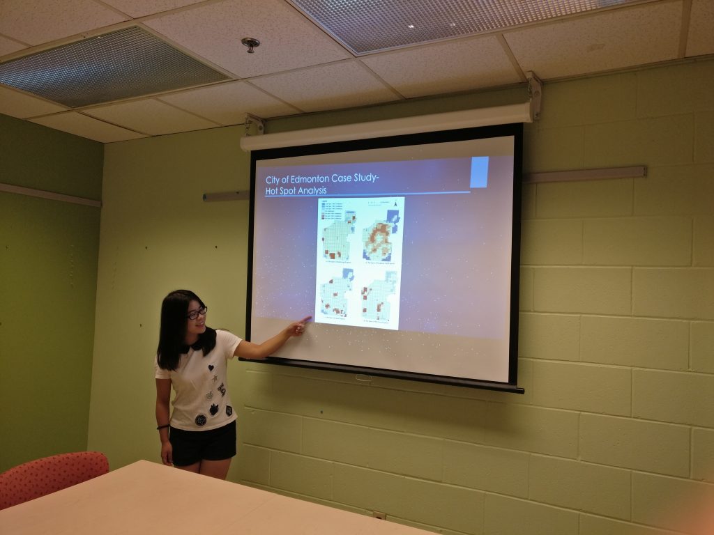
On the first day, I did a presentation for Dr. Sieber and her team. I presented my research on 311 apps and results of analysis of 311 requests in the City of Edmonton. A paper about this is published in the Urban Planning journal. In addition, I presented results of interviews with six municipalities about their perspectives on 311 app usage. Instead of a regular presentation that starts with presentation and wraps up with questions, it was a lively discussion that everyone exchanged opinions and ideas in the process of presentation, and we ended up an hour over our originally scheduled time! Dr. Sieber and her team were very outspoken and many of their points worth pondering. One of the things that I ignored in my research is the geographic offsets of 311 data obtained in open data catalogue. To protect the privacy of reporters, the locations of reported incidents are likely to be shifted from their actual geographic locations, for example, a tree pruning request points to the centre of a building. Therefore, the results of my spatial analysis of 311 data contain bias caused by inaccurate locations. In addition, efficiency could conflict with engagement when we know newly-introduced channels such as mobile apps are more efficient than telephone calls. Some people, especially the elderly, would be left behind if municipalities simply seek to maximise operational efficiency and perhaps reduce staffing for traditional channels of communication (such as telephone hotlines).

student exchange presentation
Presenting research results at the Department of Geography, McGill University

For the second day, Dr. Sieber’s team and I went to a panel discussion called GIS Without GIS: Spatial Technologies for Social Change. This was part of the World Social Forum and included discussion of the roles open data, mapping, and open source tools in producing social change. The invited speakers shared their opinions and experiences working with open data. This discussion inspired me to look at the open data aspect of my research as some municipalities publish the 311 data on the open data catalogue while others do not. It would be interesting to investigate if the openness of 311 reports impact citizens’ engagement.

This trip has provided me with the opportunity to communicate my research findings with people who work in the same field. I also got a deeper understanding of research – research is not only finding answers to questions but also seeking questions to be answered. In my research, I have found that there is a trend that mobile app use for citizens to contact governments is increasing and telephone calls are decreasing, and responses from municipalities show that mobile apps are more efficient and cost-saving. However, the question remains that if the governments should give up traditional communication channels and turn to newly-introduced ones. As the communication channels involve both citizens and governments, citizens’ perspectives on the multiple channels should also be considered when evaluating the channels. I am deeply interested in these questions, and I will investigate them in my future research.

My sincere thanks to Geothink for giving the opportunity to go on a summer exchange at the University of Waterloo. Thank you to Dr. Renee Sieber for hosting me and sharing your valuable comments and opinions. Thank you to Sonja and Peck for organizing everything well. To the Geothink community members: please don’t hesitate to contact me if you have further questions or if you are considering going on a summer exchange yourself.

Lucy (Qing) Lu is a Master’s student under the supervision of Dr. Peter Johnson in the Department of Geography and Environmental Management at University of Waterloo. Her research focuses on municipal government mobile applications, 311 services and e-government.
Lucy can be reached by email at q25lu@uwaterloo.ca.

Open Data and Urban Forests – What’s Next?


This is a guest post from Geothink Post Doctoral researcher James Steenberg, Ryerson University School of Urban and Regional Planning, working with Dr. Pamela Robinson.


By James Steenberg, PhD

I recently had the opportunity to go on a Geothink summer exchange at the University of Waterloo hosted by Dr. Peter Johnson, a Geothink co-applicant and Assistant Professor at Waterloo’s Department of Geography and Environmental Management. The main goal of the exchange was to learn about open data and open government from Dr. Johnson with the ultimate goal of writing a collaborative paper on the potential role of open data in municipal urban forestry.

I wrote about my experiences during the exchange in a previous post, and subsequently left Waterloo with an open question on open data – can the open data/open government movement also be embraced in urban forestry? I would like to justify this question with two contrasting tales of cities.

Toronto

The first tale is about Toronto, more specifically about a neighbourhood in Toronto called Harbord Village where I conducted some of my PhD field research. The neighbourhood and its residents association are quite active in the stewardship of their urban forest. They even undertook a citizen science initiative to inventory and assess all 4,000 of their trees. I re-measured some of their tree inventory in 2014 with the purpose of identifying social and ecological drivers of urban forest vulnerability (e.g., tree mortality). Soon after, my current Geothink supervisor Dr. Pamela Robinson and I began to speculate that a key agent of change was housing renovation. Where we noted incidences of tree mortality, there were often shiny new home additions or driveways where once a tree stood. Fortunately, the City of Toronto’s open data portal includes building permit data and we were able to test this theory. We did indeed find that building permits (i.e., housing renovation) significantly predicted higher rates of tree mortality.

Municipal urban forestry departments are responsible for planting, maintaining, and removing trees on public land, as well as protecting and sustaining the urban forest resource on public and private land through various policies and regulations. However, it’s important to note that urban forestry is plagued by management challenges due to the limited space and harsh growing conditions of cities. Simply put, trees frequently die when they’re not supposed to – often for unknown reasons – and practitioners are continuously seeking out ways to reduce unnecessary tree mortality. Our findings suggest that urban foresters aren’t talking to urban planners when they should be, or vice versa. Urban planners collect data describing where building renovation occurs. Urban foresters collect data describing where city trees are dying and being removed. Blending these datasets has revealed that better coordination and horizontal data sharing across branches of government might help keep public trees alive. More broadly, these findings indicate an inefficiency in municipal service provision – the provision of the beneficial ecosystem services that public trees provide to city residents. What other urban forest inefficiencies might open data reveal?

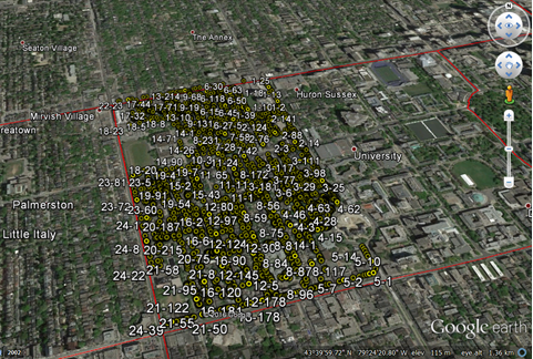
geothink_harbord_village
The Harbord Village tree inventory and corresponding volunteered geographic information (VGI)

Edmonton

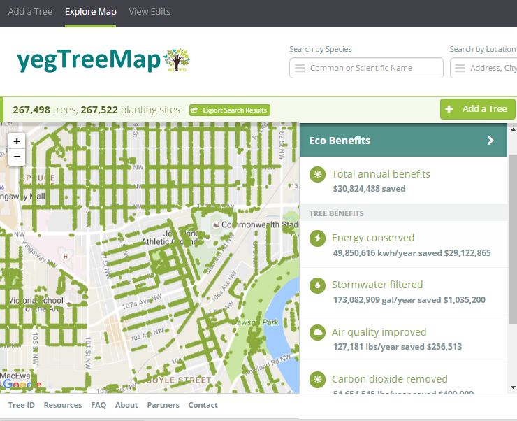
The second tale is about Edmonton and paints a different picture. I stumbled across one of Edmonton’s approaches to urban forestry during my summer exchange while learning about the various open data programs across Canada. Their urban forestry branch has used Open Tree Map – a web-based application for participatory tree mapping – in their yegTreeMap project so that “individuals, community groups, and government can collaboratively create an accurate and informative inventory of the trees in their communities”. In short, citizens in Edmonton that feel the urge to participate in municipal urban forestry can do so by downloading tree inventory data, using the data to their heart’s content (e.g., community-based stewardship programs), and entering new data into the City’s database.

This approach to what I’ve started calling ‘open urban forestry’ could conceivably improve citizen engagement with municipal government and its urban forestry programs. Much of the urban forest resource is situated on private residential property that the city doesn’t have direct access to, so citizen engagement in stewardship activities is a key piece of the puzzle. Moreover, urban tree inventories are notoriously fickle when it comes to data, being both expensive to generate and quick to become out-of-date and obsolete. Crowdsourcing a city’s tree inventory could conceivably provide better data to support decision-making in urban forestry, such as where to plant trees, what species to plant, and where trees are in decline or hazardous.

geothink_edmonton
Edmonton’s yegTreeMap user interface on Open Tree Map

I have been very fortunate to be able to incubate these ideas with guidance from Dr. Robinson and her knowledge of urban planning and citizen engagement. Moreover, it was because of my Geothink summer exchange with Dr. Johnson at the University of Waterloo and his knowledge of open data and open government that I arrived at my current line of thinking on the benefits of open data and crowdsourcing for urban forestry. My next steps forward will be to think critically about these ideas as well. What are the environmental justice implications around who gets to participate in open urban forestry? Crowdsourcing tree inventories through open data programs may provide better data, but do they simultaneously justify the under-funding of municipal urban forestry programs? I’m excited to develop these collaborative ideas over the coming weeks and to hopefully answer my open question on open data.

My sincere thanks to Geothink for giving me the opportunity to go on a summer exchange at the University of Waterloo. Thank you Dr. Peter Johnson for hosting me at the Department of Geography and Environmental Management and for introducing me to your students and colleagues.

To the Geothink community members: please don’t hesitate to contact me if you have further questions or if you are considering going on a summer exchange yourself.

James Steenberg is a postdoctoral researcher under the supervision of Dr. Pamela Robinson at Ryerson University’s School of Urban and Regional Planning. His research focuses on the ecology and management of the urban forest. James can be reached by email – james.steenberg@ryerson.ca – and on Twitter – @JamesSteenberg

Open Data and Urban Forests: A Summer Student Exchange in Waterloo


This is a guest post from Geothink Post Doctoral researcher James Steenberg, Ryerson University School of Urban and Regional Planning, working with Dr. Pamela Robinson. He writes about his experiences in Geothink’s student exchange program.


By James Steenberg, PhD

I recently undertook a three-day Geothink Summer Exchange at the University of Waterloo. My mission: to find out what, if anything, open data has to do with the practice of urban forestry.

I am currently a postdoctoral researcher under the supervision of Dr. Pamela Robinson at Ryerson University’s School of Urban and Regional Planning. Dr. Robinson was also on my PhD committee and over the past three years we have been blending our ideas on urban forest ecosystems, urban planning, citizen science, and open data. Open data and open government, in particular, are something that I’m excited about, but the topic is still quite new and unfamiliar to me. I was therefore incredibly fortunate to have the opportunity to seek out the guidance of Geothink co-applicant Dr. Peter Johnson.

Dr. Johnson is an Assistant Professor at Waterloo’s Department of Geography and Environmental Management, where among a great many other topics he conducts research on the value of open data and its role in open government initiatives. My hope was to learn about open data and open government from Peter and his students with the ultimate goal of writing a collaborative paper about the role of open data in municipal urban forestry. Practitioners of urban forestry are faced with a myriad of management challenges due to the complex, rapidly-changing, and vulnerable state of urban forest ecosystems. Two challenges particular stand out: 1) practitioners lack sufficient data describing the state of the urban forest to inform their decision-making and 2) a large portion of the urban forest is situated on privately-owned residential properties and municipal governments need to engage residents to undertake stewardship activities.

We began the three-day exchange with one of my favourite things to do: having a conversation about how to write something together. This was followed by a meet-and-greet lunch with Dr. Johnson’s students. I was also given the opportunity to give a presentation to students and faculty in Waterloo’s Faculty of Environment. I discussed and received feedback on my current research with Dr. Robinson investigating the effects of housing renewal on urban trees, which was the original research that led us to believe there was more to uncover on open data and urban forests. Over the course of the exchange, I learned about a number of fascinating research projects ranging from citizen engagement to volunteered geographic information (VGI) to water management.

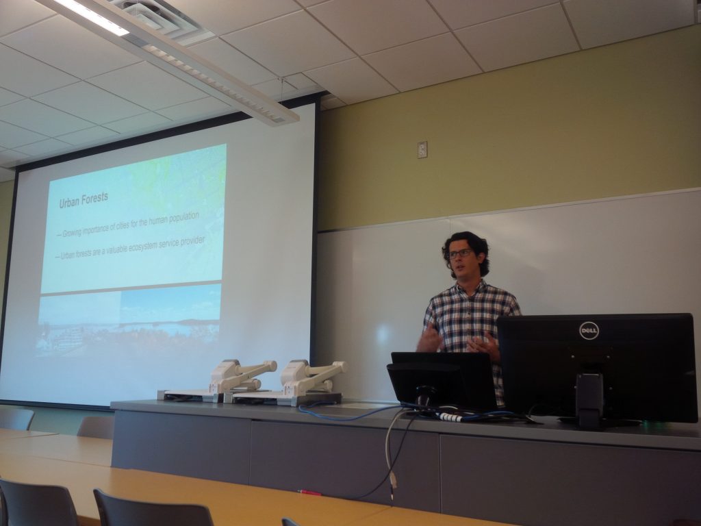
james steenberg student exchange presentation
Giving my talk at the Faculty of Environment, University of Waterloo

james steenberg at waterloo
Rehearsing prior to my talk, with a captivated audience

It can be all too rare an opportunity to hear about on-going research projects that are outside of my discipline, and I found it insightful in guiding my own work. For instance, I learned about Qing (Lucy) Lu’s research and recent publication on how Edmonton citizens engage their government through different communication channels and technologies. Citizens and community groups also engage with their urban forest in many different ways, and arguably open data is one such way that is on the rise. In a serendipitous discovery, Lucy’s paper inspired me to explore Edmonton’s open data portal where I saw that the government leverages open data and the geoweb in their urban forestry. The City’s yegTreeMap initiative not only provides people with open data describing the urban forest and its benefits, but also provides an interactive mapping platform and even allows city residents to input data about their favourite trees.

I wrapped up my time in Waterloo with Dr. Johnson by revisiting a potential paper on the role of open data in municipal urban forestry, which was now appropriately seasoned with new ideas. In particular, I was challenged to think that maybe it’s not just about how urban foresters can use government open data to advance the practice. Perhaps our inquiry could be expanded to the full Geothink mandate of understanding citizen-government interactions. In Edmonton, citizens can engage their government by participating in urban forest data collection while municipal urban foresters can make better decisions with a more complete and up-to-date tree inventory. Can people and trees alike reap the benefits in cities that practice open urban forestry? This is the question I returned home with, and I will continue to investigate until answered.

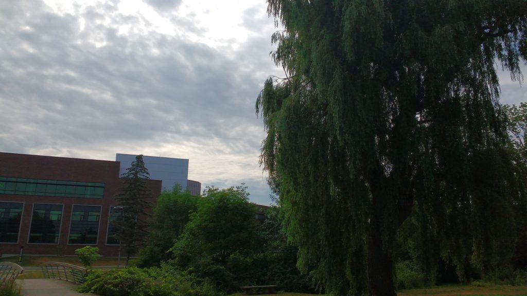
james steenberg at waterloo 2
Importantly, the University of Waterloo campus has some stunning trees

My sincere thanks to Geothink for giving me the opportunity to go on a summer exchange at the University of Waterloo. Thank you to Dr. Peter Johnson for hosting me at the Department of Geography and Environmental Management and for introducing me to your students and colleagues.

To the Geothink community members: please don’t hesitate to contact me if you have further questions or if you are considering going on a summer exchange yourself.

James Steenberg is a postdoctoral researcher under the supervision of Dr. Pamela Robinson at Ryerson University’s School of Urban and Regional Planning. His research focuses on the ecology and management of the urban forest. James can be reached by email – james.steenberg@ryerson.ca – and on Twitter – @JamesSteenberg

Stay tuned for James’ next post detailing his research.

Geothink in the Okanagan: A Winter Student Exchange


This is a guest post from Geothink Student Tenille Brown, Faculty of Law, University of Ottawa. She writes about her experiences as the first student in Geothink’s student exchange program.


By Tenille Brown

This past winter, I had the opportunity to be the inaugural ‘student visiting researcher’ through a new Geothink learning initiative focusing on student exchanges. Geothink is a Canada wide, multi-disciplinary grant. In practical terms this means there are university partners in disciplines as diverse as GIScience, urban planning, geography, communication and law. The visiting researcher programme has been established to give students the opportunity to see how other disciplines work. Through this programme, I — a graduate student in law at the University of Ottawa, and member of the Human Rights Research and Education Centre — found myself at a lab at UBC Okanagan. Professor Jon Corbett, a Geothink co-applicant, hosted me as I learnt about the lab, university and the city of Kelowna.

The SPICE Lab: Spatial Information for Community Mapping

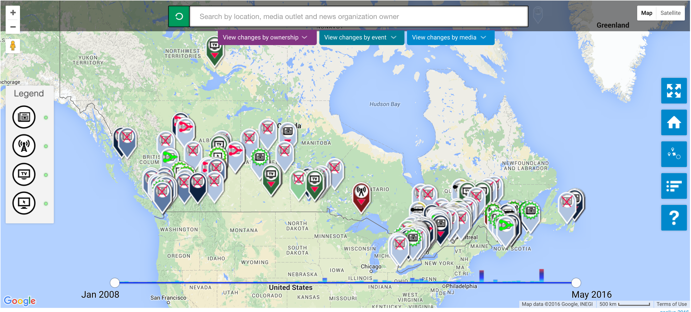
The SPICE Lab, Spatial Information for Community Mapping, is housed at the Centre for Social, Spatial and Economic Justice (CSSEJ) at the University of British Columbia, Okanagan campus. Led by Professor Corbett, the Centre looks at digital cartographic processes and tools that can be used by local communities to help express their relationship to, and knowledge of, their land and resources. A mapping tool that we have heard about at Geothink in the past, Geolive, was developed here. I was able to get an inside look at the mechanics of the Geolive system and learned about the process of collecting and coding the mapped information. As well as learning about the huge amount of resources that go into maintaining a system like Geolive (important information for the arm-chair geo-cartographers out there). I was also fortunate to get a preview of a recent collaboration between the Geolive team and Professor April Lindgren, an associate professor at the Ryerson School of Journalism and, academic director of the Ryerson Journalism Research Centre, and Geothink partner. Their project map titled, “The Local News Map: Tell us what is happening to local news in your community,” explores the issue of news poverty in Canada at a time of significant disruption in the news industry. The crowdsourced map will be available to the public so people can add information about the closure, launch or merger of local news outlets in their community. This collaboration between journalism and mapping was conceived at the 2015 Geothink AGM and will go live in the coming weeks (read more about it here).

Geolive news poverty map

Other activities I got involved in during my short stay in BC, included, observing community interviews carried out by Ailsa Beischer a student of Professor Corbett as she interviewed public health offices about food security (you can read about her work in a recent publication here). My visit coincided with a graduate programme lecture in Indigenous research methodology hosted by the En’owkin Centre, a First Nations community centre in the Okanagan valley. Of course, I got the chance to visit local Okanagan cultural sites.

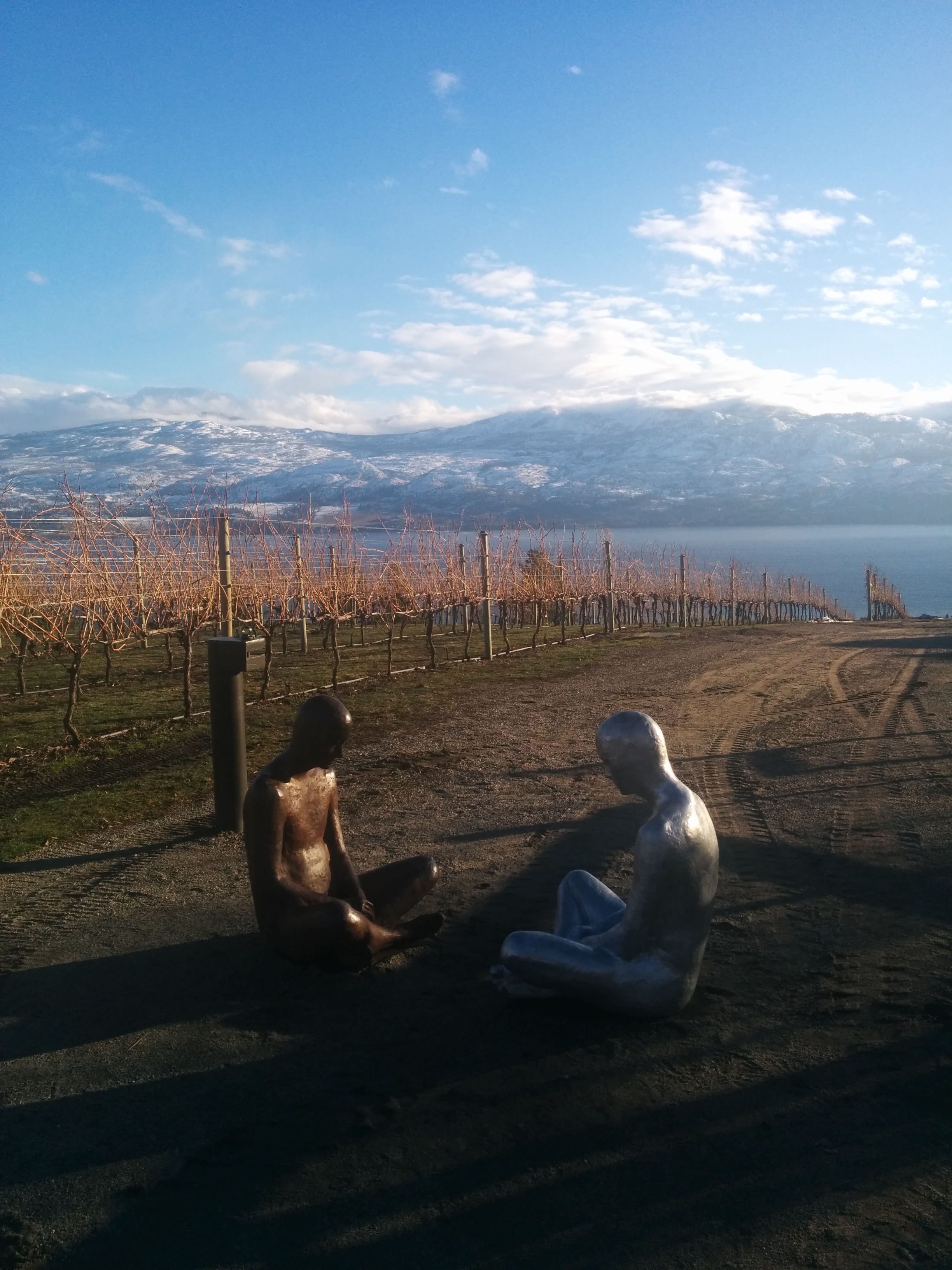
Okanagan Vineyards
So, what’s a law student to do in a geo-spatial lab?

One of the core aims of Geothink is interdisciplinary research. This is a logical research objective given how integral multiple perspectives are to citizen-engagement; but from the often-siloed academy, surprisingly difficult to implement. My research is focused on property law and liability issues. I ask questions about ownership and legal adjudication of land and property, but from an interdisciplinary – law and geography – perspective. Adopting insights put into practice by the SpICE lab, I ask how cyber-cartography and the geoweb could be adopted to support individual and community experiences of property and land in ways beyond typical legal adjudication. In particular, the work of Geolive provides an opportunity to look at how community needs can be documented, raising the potential for critical insights about governance of land.

The visiting researcher position provided me with the opportunity to learn about the research processes of another discipline, in ways that I do not get to in my daily research schedule. In practical terms, I am deeply interested in both the utility and accuracy of information contained in the geoweb, and how programmers navigate the pressures of coding information to capture communities’ perspectives. These considerations – of accuracy and perspective – are of course long standing preoccupations of the legal field. But seeing the disciplinary similarities was apparent to me by visiting the SpICE lab and seeing the development process first hand. Having the opportunity to engage directly with the processes of researching and realizing digital-mapping projects, has been an impactful experience for my academic research, collaborations with Geothink researchers and personally.

Thank you to the Geothink team for sending me to UBC Okanagan. A huge thank you to Professor Corbett and his wonderful community of the CSSEJ for their support for my visit.

If you would like more information about my visit, or are a Geothink student thinking about going but still have questions, then please reach out to me.

Tenille E. Brown is a PhD Candidate under Professor Elizabeth F. Judge at the Faculty of Law, University of Ottawa, where she is also a student member of the Human Rights Research and Education Centre. Tenille’s research is in the areas of legal geography, including property, spatial and citizen engagement. Tenille can be reached via email at, tenille.brown@uottawa.ca, and on Twitter, @TenilleEBrown

Cooking up Open Data with the Iron Chef – Summer Institute Day 1

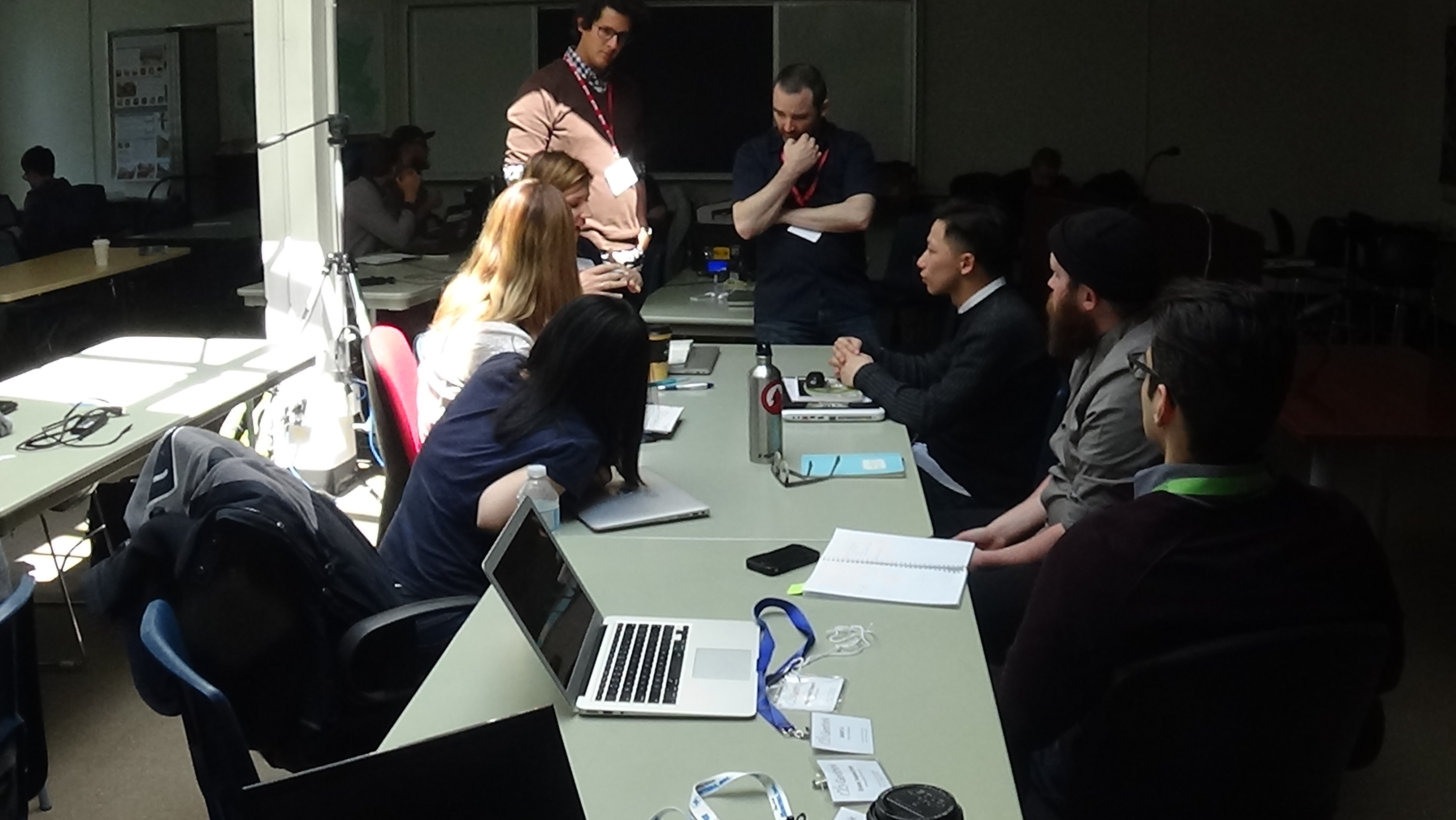
Richard Pietro and James Steenberg discuss one group's open data application with them at Geothink's 2016 Summer Institute.

Richard Pietro and James Steenberg discuss one group’s open data application with them at Geothink’s 2016 Summer Institute.

By Drew Bush

The 2016 Geothink Summer Institute kicked off on May 9 with introductions from Geothink Head Renee Sieber, associate professor in McGill University’s Department of Geography and School of Environment, and Pamela Robinson, associate professor in Ryerson University’s School of Urban and Regional Planning. By that afternoon, the 35 students attending had gotten their hands dirty conceptualizing applications for real open data.

Students at this year’s institute learned difficult lessons about applying actual open data to civic problems through group work and interactions with Toronto city officials, local organizations, and Geothink faculty. The last day of the institute culminated in a writing-skill incubator that gave participants the chance to practice communicating even the driest details of work with open data in a manner that grabs the attention of the public.

Held annually as part of a five-year Canadian Social Sciences and Humanities Research Council (SSHRC) partnership grant, each year the Summer Institute devotes three days of hands-on learning to topics important to research taking place in the grant. This year, each day of the institute alternated lectures and panel discussions with work sessions where instructors mentored groups one-on-one about the many aspects of open data.

On day one, students learned about open data during an Open Data Iron Chef event with Toronto-based open data expert, Richard Pietro, who affectionately calls himself an open government and open data fanboy. He’s known for twice riding his motorcycle across Canada to raise awareness of open data, his film Open, and the company he founded OGT Productions. All of this work has led him to a unique view of open data and open government.

“It [open data and open government] allows people to customize their government,” Pietro said between sessions. “It’s as simple as that. And whenever anybody asks what it means: It just allows people to customize their government. Very similarly it does what social media did in 2004 to our relationships with our friends and companies and celebrities. Open data and open government is like social media but ten years ago.”

“It’s very new,” he added. “Some people understand its potential but nobody really understands how much it’s going to change everything about how people interact with their government and how government interacts with people. So it’s going to have incredible transformative powers.”

Watch a clip of Pietro introducing the Open Data Iron Chef event on day one here:

After Pietro’s introduction to open data, James Steenberg, a postdoctoral researcher at Ryerson University with Robinson, walked students through the different file types open data is often released in, what an actual data set might look like, and how to go about working with such data.

“I think it would be more useful if I just went through all the questions I would have if I was literally doing an Iron Chef by myself at home in the kitchen, which I did,” Steenberg told students. “Small apartment, my work desk happened to be pretty much in my kitchen, so I was able to draw some inspiration.”

“And I put together some slides and questions and answers based on just the questions I had starting from scratch,” he continued. “So going to the open data portal, downloading them, opening them up, what kind of file formats are we looking at and so forth. So that’s what I’m going to do today, I’m going to bounce around from a few different files as you saw. But basically I’d like to just develop my own civic app here of what I hope can be a useful function in the city.”

The majority of the day was then given over to students actually finding data they wished to work with (Pietro gave a wide variety of examples during his presentation), a close examination of their chosen datasets, and determining novel uses for which the data could be used to improve city services or better engage citizens. At the end of the day, students presented their proposals that included an analysis of gaps in open data (in availability and quality) and what data was needed to be able to create an open data solution to a chosen real-world problem.

For one student group, this meant taking a closer look at data pertaining to water main breaks within the City of Toronto. In particular, they hoped to determine if any spatial pattern existed with water main breaks in comparison to aspects of the built or natural environments that might influence this phenomenon. The group felt such data could be used to help predict future break sites and facilitate repair before a rupture occurs.

Experiences with this type of work within the group varied widely.

“I don’t have a lot of background in some of this mapping stuff, so I come at it from a very different perspective,” Shelley Cook, from the University of British Columbia, Okanagan, said.

Her group-mate, in contrast, felt quite comfortable with the project the group had chosen.

“So I’ve had a lot of experience doing research on sort of the geographic side of open data, looking at geographic content,” Edgar Baculi, from Ryerson University, added. “I like this activity. This is a great experience. One question that comes to mind right now is why the quality of the data isn’t what I want it to be. In the future, I’d like to see the quality of the data better released, better published from municipal governments to help better answer questions we have as citizens in the decision-making process and in making things better for everyone else.”

Stay tuned for more iTunes podcasts from the Summer Institute here, check back on Geothink for synopses of days two and three, and, of course, watch more of our video clips (which we’ll be uploading in coming days) here.

If you have thoughts or questions about this article or video, get in touch with Drew Bush, Geothink’s digital journalist, at drew.bush@mail.mcgill.ca.

City of Ottawa Selects Winner Out of Seven Student Designed Crowdsourcing Applications – Geothink Summer Institute Day 3

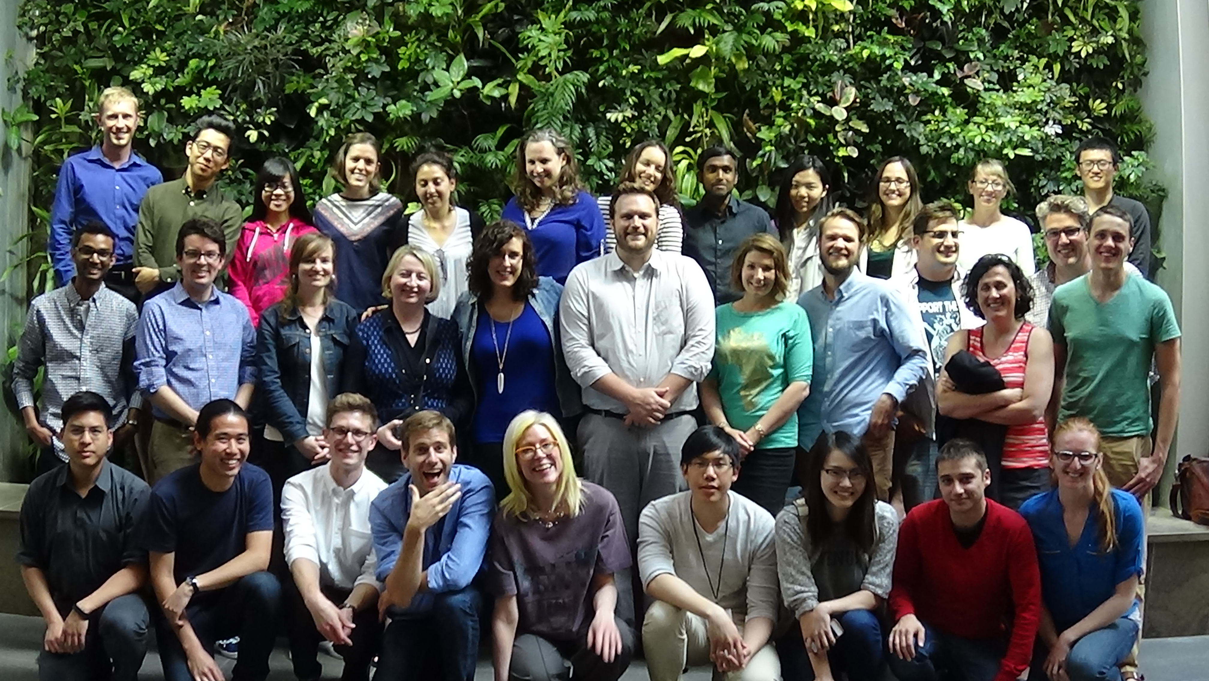
2015 Geothink Summer Institute students, faculty and staff after the conference concludes.

2015 Geothink Summer Institute students, faculty and staff after the conference concludes.

By Drew Bush

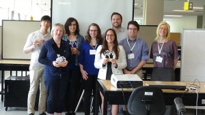
On day three the big issues discussed included using crowdsourcing in governance and the idea’s future in the public sector. By the end of the day, one of our student groups, GeoOne, had been crowned the winner by City of Ottawa officials and each of its members presented with a trophy in the image of Geothink’s logo, printed by a three-dimensional printer.

The winners, GeoOne, being presented their trophies by the Summer Institute's faculty.

The winners, GeoOne, being presented their trophies by the Summer Institute’s faculty.

But first, Daren Brabham, assistant professor in the University of Southern California Annenberg School of Journalistm and Communication, offered the students caution.

In a morning discussion, he reminded students not all crowdsourcing endeavours have been successes, and that flaws in some crowdsourced data mean it has limitations, as was pointed out on day two. Furthermore, one must consider traditional forms of data collection in comparison to crowdsourcing, he said, because whole institutions and professions exist to support such data collection’s objectivity.

For Brabham, however, this doesn’t mean crowdsourced data should be discredited. In fact, many aspects of the technology ensure it’s a very democratic way of making decisions and collecting data.

“It is easy to point to reasons why we shouldn’t be doing something, when you are in an established position of power and when you have a profession that you have built,” he said. “And I think this gets to maybe a more controversial point, and that’s—I see professionalism and the professions as really just ways to hold onto power.”

Check out more on Brabham’s views of the democratizing impact of crowdsourced data in the clip below:

The rest of the day leading up to the presentations was given over for students to fine-tune their pitches for the City of Ottawa and finalize their presentations themselves. Seven groups competed: GeoOne, GeoPlay, GeoWild, Grads Gone Ottawild, Ministry of Municipal Engagement, Terra Solutions and Wild VASS.

The excitement in the room before the first presenters began was palpable. This may have stemmed, in part, from the realization that the City of Ottawa and its citizens needed actual help rather than this being just some academic exercise. For some students, this meant the stakes were higher.

“It’s good that it’s rooted in something real,” Victoria Fast, a Ph.D. Candidate at Ryerson University in the Department of Environmental Applied Science and Management, said. “And I think that makes it more motivating to come up with something as good as possible because if they implement it, it improves how people are finding natural resources in their community and it can make things better for everybody.”

Each of the group’s proposals were designed to be used on mobile devices, a Web site, and often a combination of both. Many groups used maps to help citizens geo-locate themselves in relation to the city’s parks. However, how users were asked to contribute and in what forms varied greatly from one group’s app where users would vote on badges for particular uses at each park to another’s creation of ‘mad-lib’ story forms where users filled in the word for each park visit. Check out each of the student groups’ final presentations here:

GeoOne (Winner)

GeoPlay

GeoWild

Grads Gone Ottawild

Ministry of Municipal Engagement

Terra Solutions

Wild Vass

Stay tuned for more iTunes podcasts from the Summer Institute here, and, of course, watch more of our video clips (which we’ll be uploading in coming days) here.

If you have thoughts or questions about this article or the video content, get in touch with Drew Bush, Geothink’s digital journalist, at drew.bush@mail.mcgill.ca.

A Deeper Dive into Crowdsourcing – Geothink Summer Institute Day 2

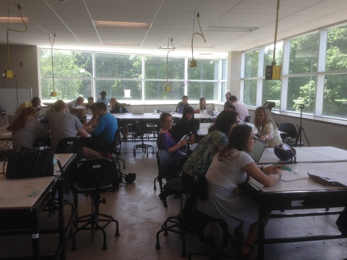
Time for each of the seven competing teams to meet and work on their proposals in the upstairs classroom of the Environment 3 Building at the University of Waterloo during Geothink's Summer Institute.

Time for each of the seven competing teams to meet and work on their proposals in the upstairs classroom of the Environment 3 Building at the University of Waterloo during Geothink’s Summer Institute.

By Drew Bush

Day two of Geothink’s Summer Institute began with a deeper dive into crowdsourcing led by Robert Goodspeed, assistant professor of Urban Planning at the University of Michigan’s Taubman College of Architecture and Urban Planning. In the morning, he presented hot topics in his own research including crowdfunding, formal crowdsourcing and the crisis-mapping tool Ushahidi.

“In my world, within a planning project or a collaborative effort, these sort of structured tools can be plugged in,” he told students of his work in developing a visual preference tool to engage the public in more formal participatory community planning processes. “Technology is forcing us to rethink our methodologies, and rethink how we think things work.”

Each day of the institute alternated morning lectures, panel discussions and in-depth case studies on topics in crowdsourcing with afternoon work sessions where professors worked with student groups one-on-one on their submission to the City of Ottawa on day three.

Not sure what constitutes crowdsourcing? The goal of the institute, run as part of a five-year Canadian Social Sciences and Humanities Research Council (SSHRC) partnership grant, was to provide undergraduate and graduate students from Geothink’s partners with knowledge and training in theoretical and practical aspects of crowdsourcing. See our post from day one to learn more about this important topic.

After some coffee, specific case studies brought home what crowdsourcing looks like in practice and the limitations of some crowd-sourced data due to demographic biases with gender amongst users who geo-reference data. Provided by Monica Stephens, assistant professor in the Department of Geography at State University of New York at Buffalo, and Daren Brabham,, assistant professor in the University of Southern California Annenberg School of Journalistm and Communication, these additional case studies gave insight into the types of research undertaken by Geothink researchers.

A random survey of users within many online mapping communities coupled with a look at interactions among members in specific communities proved revealing for Stephens.

“What became clear was that women were just as willing to socially tag, I was with so-and-so, but they weren’t willing to include the geographic information the way that men were,” Stephens told students in her case study on OpenStreetMap and other internet mapping communities. This simple fact, she demonstrated, has profound impacts on the types of features and attributes that get approved for inclusion on many maps.

Watch a clip of Stephens’s talk to find out how she conducted her research here:

For the students, the afternoon proved just as stimulating as all seven groups presented their initial concepts to the professors for feedback and guidance.

“I come from a GIS/Urban Planning background, and I found out about this through a professor,” said Alexa Hinves, a master’s student in Ryerson University’s Department of Geography who competed as a member of the group GeoPlay. “To me it’s just kind of incredible…you get to get together and do so many different activities. It’s not just you’re going to a conference and you’re listening to people for hours about what their interests are. But you are also sitting down and doing an intensive project and getting a lot of different perspectives.”

“You also get to think out of the box,” added her teammate, Ashley Zhang, a Ph.D. candidate at Waterloo University’s Department of Geography and Environmental Management.

Stay tuned for more iTunes podcasts from the Summer Institute here, check back on Geothink.ca for our last synopses of day three, and, of course, watch more of our video clips (which we’ll be uploading in coming days) here.

If you have thoughts or questions about this article or the video content, get in touch with Drew Bush, Geothink’s digital journalist, at drew.bush@mail.mcgill.ca.