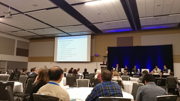
The main atrium of the Environment 3 Building at the University of Waterloo between sessions at Geothink’s Summer Institute.
By Drew Bush
The day began with a warm welcome from Geothink Head Renee Sieber, associate professor in McGill University’s Department of Geography and School of Environment. By afternoon, the City of Ottawa had presented the 29 students attending Geothink’s Summer Institute at the University of Waterloo in Ontario, Canada with the challenge of engaging its citizens with city natural areas.
Each day of the institute alternated morning lectures, panel discussions and in-depth case studies on topics in crowdsourcing with afternoon work sessions where professors worked with student groups one-on-one on their proposed solution to the City of Ottawa’s challenge. As the institute progressed, more time was given to the seven student groups to work on their solutions and prepare a final pitch to the city on day three.
The morning lecture topics ranged from “Conceptual Foundations in Crowdsourcing” to “The Future of Crowdsourcing in the Public Sector” and were taught or co-taught by Sieber, Robert Goodspeed, assistant professor of Urban Planning at the University of Michigan’s Taubman College of Architecture and Urban Planning; Daren Brabham, assistant professor in the University of Southern California Annenberg School of Journalistm and Communication; and Monica Stephens, assistant professor in the Department of Geography at State University of New York at Buffalo.
Not sure what constitutes crowdsourcing? The goal of the institute, run as part of a five-year Canadian Social Sciences and Humanities Research Council (SSHRC) partnership grant, was to provide undergraduate and graduate students from Geothink’s partners with knowledge and training in theoretical and practical aspects of crowdsourcing. And that’s a topic Brabham has been studying, as he puts it modestly, for “several years.”
“And I’ve been trying to look at how to take this model, which I define as connecting organizations with online communities to mutually solve problems or produce goods,” he told Geothink. “Taking that model which as been used in business and a number of for profit endeavours and trying to translate it for governments, for non-profits, for public health.”
On Day 1, students at Geothink’s Summer Institute worked together to solve Ottawa’s crowdsourcing problem using the knowledge gained in earlier sessions as well as individual areas of expertise. Much like many real-world challenges that crowdsourcing has been used to address, the presentation from the City of Ottawa made clear that the problem the city faced was complex and multifaceted. Goodspeed helped to summarize some elements of what was expected of students.
“What a wonderful, rich context, I mean, who knows what the problem is?” he told students. “Is it that people are going to too many parks or the wrong parks, or which people are we talking about? We have no idea…And I think this is very typical for a lot of problem settings you’ll encounter. And, in that sense, almost any month they showed could have been itself a crowdsourcing application.”
Watch a clip of Goodspeed’s introduction here:
After they’d been given a chance to start discussing ideas for crowdsourcing applications in their groups, Sieber and Stephens helped students to begin thinking about the geographical aspects of the applications they were designing as well as technical limitations they might face.
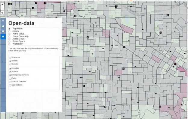
“So, this is a summer institute on crowdsourcing, why do we even talk about geography?” Sieber told students later in the first day. “Because most open data, most data that comes out of government has some geographic component in it somewhere. So it’s useful often to tie crowdsourcing to geography.”
“If nothing else, that implies there is a jurisdictional aspect to the way that people communicate with government, that is that people are bounded in place,” she added.
Stay tuned for more iTunes podcasts from the Summer Institute here, check back on Geothink for synopses of days two and three, and, of course, watch more of our video clips (which we’ll be uploading in coming days) here.
Watch a clip of the presentation the City of Ottawa gave our students here (Beware, for the technophobic, it was conducted over videoconference).
If you have thoughts or questions about this article or the video content, get in touch with Drew Bush, Geothink’s digital journalist, at drew.bush@mail.mcgill.ca.