Tag Archives: Geothink

Geothink Summer Institute On Smart Cities Convenes May 25, 2017

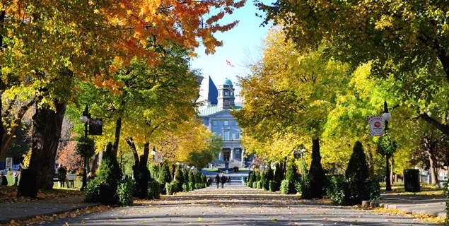
The 2017 Geothink Summer Institute on smart cities will convene May 25 to May 27 on McGill University’s downtown campus in Montreal, Quebec. (Image courtesy of http://jeannesauve.org)

By Drew Bush

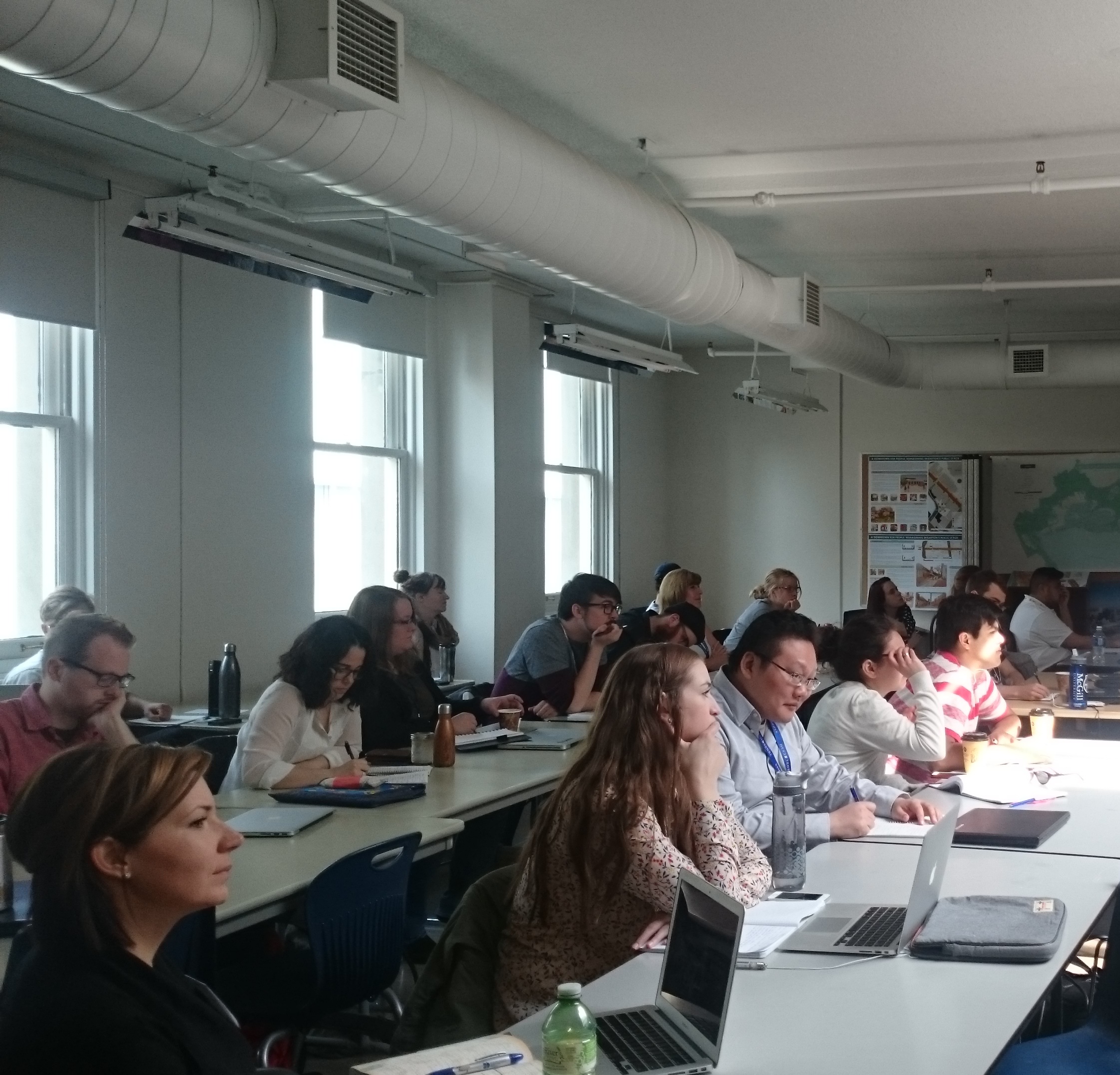
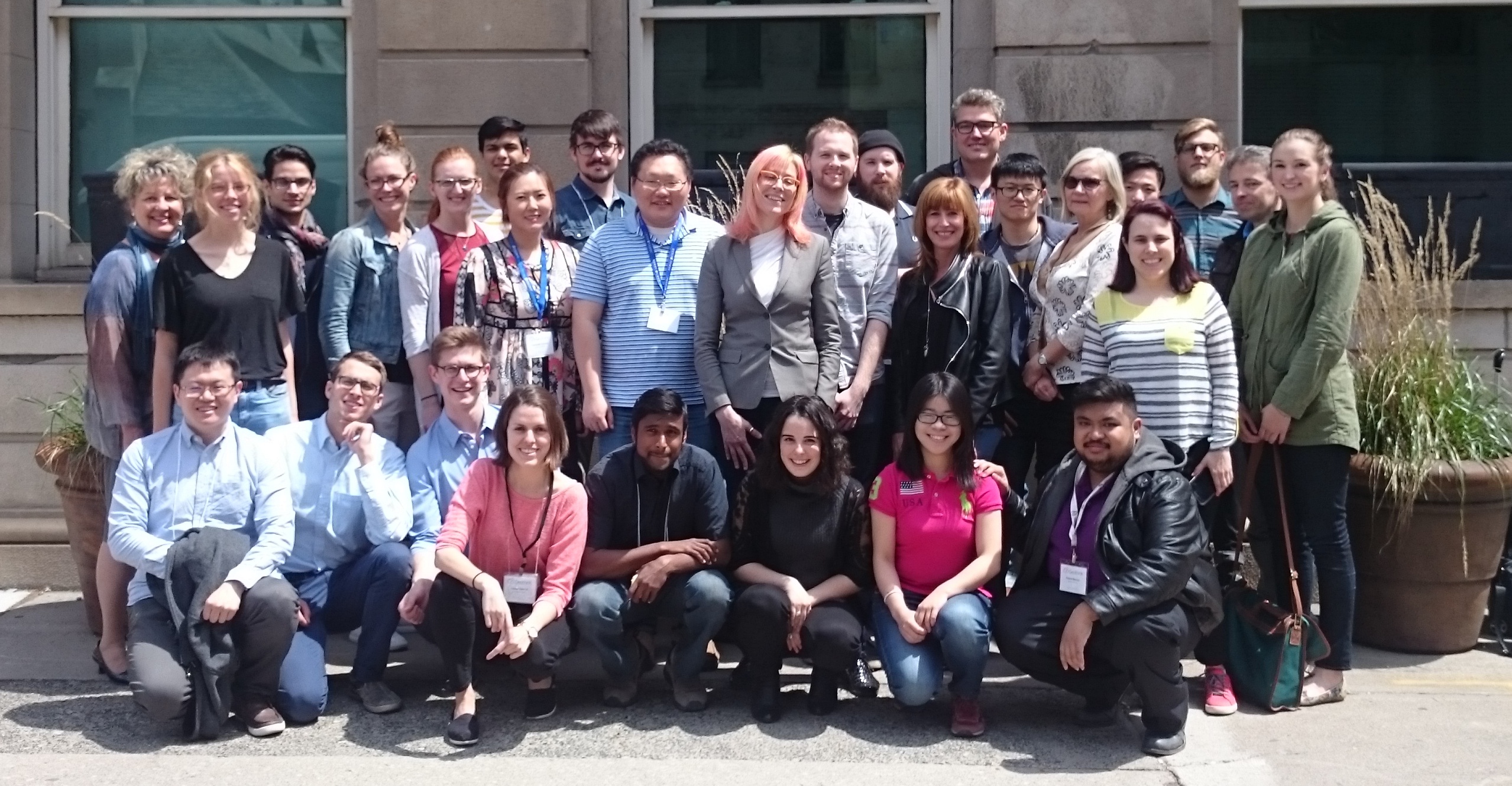
As 22 Geothink students pack their bags and get ready for this year’s three-day 2017 Summer Institute “Smart Cities: Toward a Just City” their host city (and Geothink partner) will be preparing as well. This year’s Summer Institute will kick-off May 25 to May 27 in Montreal as celebrations for the municipalities 375th anniversary shift into high gear.

The timing couldn’t be more serendipitous: Strategic plans overseen by Montreal’s Smart and Digital City Office call for making the municipality a world renowned leader among smart cities by 2017. This year’s Summer Institute will bring together an interdisciplinary group of students and faculty—from law, geography, planning and more—to learn about issues facing smart cities and meet with key leaders in Montreal’s work toward becoming a leader in this field.

“It’s essential that students appreciate the ways in which smart technology can lead to fairer and just city-citizen interactions,” said Geothink Head Renee Sieber, associate professor in McGill University’s Department of Geography and School of Environment. “Students in this Summer Institute will learn about accessibility in smart cities, the promotion of social justice in this new environment and the integration of technology into city processes.”

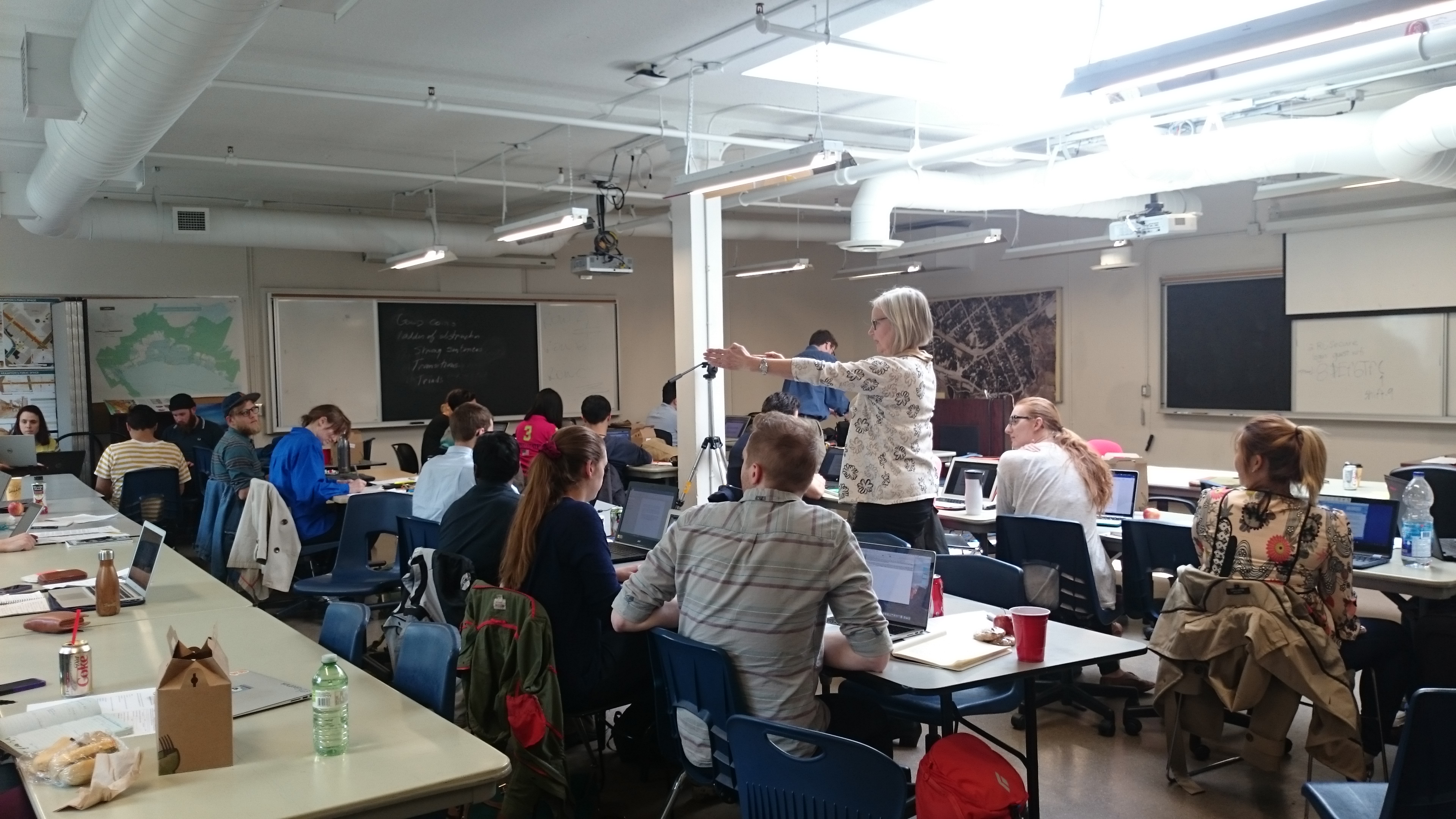
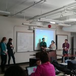
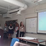
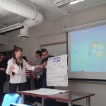
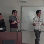
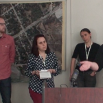
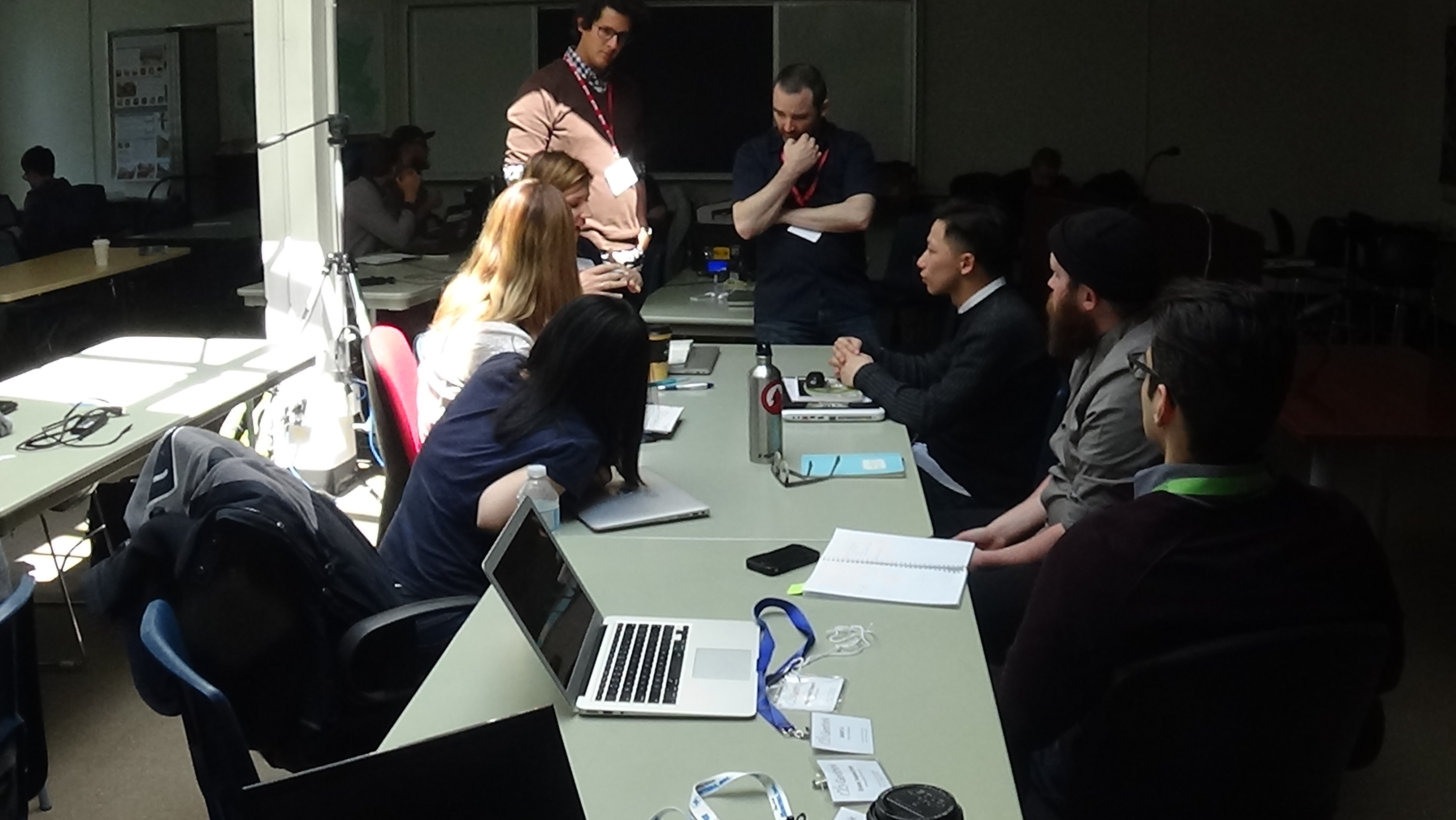
Each of the three days of the Summer Institute will combine workshops, panel discussions and hands-on learning modules that will culminate in a competition judged by city officials. The goal of the competition will be for student groups to develop novel uses for Montreal’s open data to improve accessibility in the city.

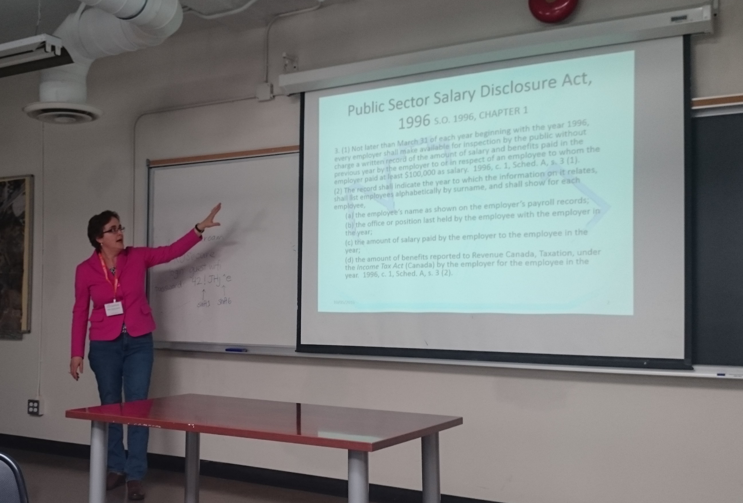
The first day of the Institute will introduce the idea of smart cities during a panel discussion with Sieber and Geothink Co-Applicants Jon Corbett, associate professor in University of British Columbia at Okanagan’s Department of Geography; Stéphane Roche, associate professor in University Laval’s Department of Geomatics; Pamela Robinson, associate professor in Ryerson University’s School of Urban and Regional Planning; Rob Feick, associate professor in Waterloo University’s School of Planning; and Teresa Scassa, Canada Research Chair in University of Ottawa’s Faculty of Law. Later that day, students will be introduced to the problem they are trying to solve and hear from Montreal City Council Chairman, M. Harout Chitilian.

On day two, students will learn about legal issues relating to smart cities from Scassa, ethical considerations from Roche and social justice issues from Corbett. Multiple sessions throughout the day will also be devoted to group work on projects.

Finally, on day three, two separate talks will be headlined by Jean-Noé Landry, executive director of Open North, and Xavier Peich, a co-founder of Smarthalo. After time to work on project presentations, the day will conclude with the competition.

“Students will be exposed to smart city issues from a variety of perspectives, including government, non-profits, local tech entrepreneurs, planners and, of course, academia,” Geothink Student Coordinator Suthee Sangiambutt said. “This is going to be a fun event. Student attendees are from all sorts of disciplines and there will be a great opportunity to learn new skills and perspectives around smart city problems.”

The summer institute is hosted by Geothink, a five-year partnership grant awarded by the Canadian Social Sciences and Humanities Research Council (SSHRC) in 2012. The partnership includes researchers in different institutions across Canada, as well as partners in Canadian municipal governments, non-profits and the private sector. The expertise of the group is wide-ranging and includes aspects of social sciences as well as humanities such as geography, GIS/geospatial analysis, urban planning, communications, and law.

“We’re really fortunate to have such an interdisciplinary group of students who can unpack the term ‘smart’ from multiple angles to better understand both the challenges and opportunities that cities face today,” Geothink Project Manager Sonja Solomun said.

If you have thoughts or questions about the article, get in touch with Drew Bush, Geothink’s guest digital journalist, at drew.bush@mail.mcgill.ca.

Paper Spotlight: Fostering Citizen Trust in Municipal Government

Screen Shot 2016-08-15 at 8.56.32 AM

A new IMFG Perspectives paper posit five steps to foster citizen trust in Canadian municipalities.

By Drew Bush

In a new article, Geothink Co-Applicant Pamela Robinson and her co-author, Dina Graser, posit five steps to foster citizen trust in Canadian municipalities as they attempt to raise funds to cope with almost $400 billion of infrastructure deficit nationwide.

Pamela Robinson is an associate professor at Ryerson University’s School of Urban and Regional Planning.

Pamela Robinson is an associate professor at Ryerson University’s School of Urban and Regional Planning.

Published by the Institute on Municipal Finance and Governance (IMFG) at University of Toronto’s Munk School of Global Affairs, A Recipe for Fiscal Trust (No. 13) reviews literature on public trust in government. In September, the authors will host a seminar to elaborate on their work. (Check back here for details when they become available.)

“There’s no shortcuts,” Robinson, an associate professor at Ryerson University’s School of Urban and Regional Planning, said of the paper. “We have to stop thinking about civic engagement and relationship building between local government and members of the general public as discreet events and things that you tick-off, ‘Like, ok, I’ve done that.’ There are—the ways in which relationships are built and maintained and nurtured and cultivated is the active work of government.”

She sees this research as building upon previous Geothink research examining the ways in which civic hackathons reshape citizen-government interactions along with open data. Instead of interrogating how open data makes municipalities more accountable or transparent (or may fail to), this paper examines how it shapes levels of public trust in government. Robinson adds that data itself is not a panacea.

“Data is an input into our process but the data itself won’t give you trust or transparency,” she said. “You have to use the data embedded in broader processes of civic engagement. And so the portal is just the beginning—it’s not the end.”

Robinson warns that the longer municipalities wait to build trust and raise funds, the greater the challenge will be in terms of the huge backlog of municipal infrastructure work that needs to be completed. Particular challenges include governments strapped for resources and money, news cycles with shorter attention spans, and citizen fatigue with governmental processes. Yet, new transit lines or bridges require sustained community engagement.

“Not only is the process of maintaining good citizen-local government relationships really important and hard work,” Robinson said. “It’s going to require more and more attention. And it can’t be just that thing that those people over there do. It needs to be internalized.”

Find the executive summary and citation for the article below:

Citation
Graser, D. & Pamela, R. (2016) A Recipe for Fiscal Trust. IMFG Perspectives, No. 13, p. 1-20.

Executive Summary
Cities across Canada face an enormous infrastructure deficit. From 100-year-old water mains to transit systems in vital need of upgrading and expansion, Canadian infrastructure is widely recognized to be in dire straits. And while the majority of Canadians elected a new government that was prepared to run a deficit to fund infrastructure, these funds alone will not cover the investments needed.

Local governments need to make significant financial investments, too, and must raise revenues through taxes, user fees, and possibly new revenue tools. But before they can take these actions, they have to build trust to convince heir residents that new revenues are needed and will be spent wisely.

What does it mean to build trust? This paper examines the notion of trust and how governments can build it using:

  • Good information: relevant data made accessible to citizens and attractively packaged to enhance transparency;
  • Good communications: good stories that are well told, with relevant information distributed through a variety of channels (using open government tools and techniques);
  • Good engagement: inclusive and meaningful opportunities for dialogue about policy decisions to build the continuum of trust (using a variety of mechanisms);
  • Credibility: building an effective track record and controlling costs (through better performance benchmarking and other approaches);
  • Earmarking of funds: creating a dedicated fund that clearly links revenues raised to specific expenditures, and regularly reporting on the progress of projects funded.

This research shows that there are concrete and practical steps that cities can take to build fiscal trust – but there are no shortcuts. Trust-building is a long-term proposition that takes resources. Cities must invest the time and dedicate the resources to build trust through all of the steps outlined, and continue to do so as part of their regular activities.

Minecraft to Educate Youth and Plan Better Cities

maxresdefault

Minecraft users envisioned the City of Stockholm in Sweden the way they wanted it to be using the popular game.

By Drew Bush

When the New York Times recently ran a ten page magazine story on The Minecraft Generation, it focused primarily on young users learning basics of computer science through their engagement with this software. For two Geothink researchers, harnessing youth enthusiasm for this tool is also central to helping cities make better planning decisions.

For the un-initiated, Minecraft isn’t so much a game but rather a destination, a technical tool, and a cultural scene all rolled into one program. Children who use it can engineer complex machines, model the world in cube-like form, shoot and post YouTube videos of their work, and setup servers to hang out on with their friends.

The software launched by Mojang (a Swedish game studio) in 2009 now boasts more than 100 million users. Microsoft recently bought it and Mojang for a record $2.5 billion.

Lisa Ward Mather studied Minecraft’s possible application to urban planning as a master’s student with Geothink Co-Applicant Pamela Robinson, associate dean in Ryerson University’s School of Urban and Regional Planning. In 2014, she was recognized for community engagement in her thesis work with a Ryerson Gold Medal.

“It was basically an exploratory study, sort of, where I went and spoke to planners and engagement specialists and asked them to what degree and in what context they thought that Minecraft could be a useful tool for planners to use for engagement,” she said. “I interviewed twelve people and came up with some really rich responses, actually.”

Many of the experts she spoke with during her master’s research project were senior-level and had not necessarily had much, if any, experience actually working with the Minecraft program. To ensure they adequately understood the software, Mather created a video that explained the game, what it looked like and the various activities users could undertake. The video also featured unique projects.

“Such as something called Blockholm,” Mather said. “Which was, in the city of Stockholm, they brought in infrastructure related to Minecraft. And then they allowed or gave away plots of land within the Minecraft city for people to build what they thought the city should be. It was a project that was sort of a visioning project. And they ended up building things in real life and having a museum exhibit that people could wander around in.”

Educating Young Students in the Virtual Minecraft City of Toronto
Mather is not alone in researching the power of Minecraft to empower communities in urban planning decisions that can affect their daily lives. For an internship at the chief planner’s office with the City of Toronto, another one of Robinson’s students, Jacky Li, helped the city initiate an educational program that envisions the entire city built in Minecraft.

A master’s student from the University of Ryerson had written a report on how using Minecraft might be effective as an educational and planning tool for work with young children. For his own work during the summer of 2015, Li assessed the technical challenges the city would need to overcome to engage students in the school system in envisioning complete communities through Minecraft.

He describes the software as a “popular computer game where you basically craft things.” It’s analogous to “Lego,” he said, “but on your computer, or on your Xbox or PlayStation, or on your mobile phone.”

Li examined examples in Sweden of architects and city planners collaborating to better design a suburb and learned from users at Niagara College in Welland, Ontario how to translate GIS data into the program.

“At the end of it what I made for the city of Toronto was a report that said how to build like the sub-server, how to host it, and some potential programming they can do with children,” Li said. “Like a floor-area ratio exercise where you can imagine density. So if you’re given solar power, how many blocks can you build different kinds of built forms on depending on the criteria [of the power].”

Find a sample of the report Li wrote here.

The Minecraft Generation Becomes Today’s City Planners
Minecraft not only engages users with its simple design in educational settings but also in envisioning how to plan for future changes in a city. Both Mather and Li ask practical questions about the utility of a program like Minecraft beyond its entertainment value.

Mather’s master’s set the stage by asking planners about the obstacles and benefits to Minecraft to determine contexts in which such software might be useful. Since the conclusion of this work, she’s also found interest in her work from the chief planner’s office at the City of Toronto.

In a recent project she tested her own skills with Minecraft—something she had not done previously. The city sent her Google SketchUp files of a corridor in Toronto that she used to produce a Minecraft world. In particular, she created a 3-D model of what the corridor looked like now, in the near future with more mid-rise buildings and in the far future when it’s lined with such buildings.

“It was not a detailed world in the sense that the building didn’t have windows and stuff like that,” she said. “Because it was just a model that came from Sketchup, it was not a very detailed, the file I brought in was not, did not have that kind of nuance to it. Of course, bringing, the complexity of bringing something into Minecraft is you can’t necessarily determine the kind of material it’s made out of. Every individual part of the building would be the same material. So I ended up with a stone world, of the corridor and surrounding buildings.”

Even so, she found this small project very interesting and hopes to continue the work. Such research embraces the potential of new media in improving urban planning decisions. (For more, see our story on using open data to revolutionize urban planning decisions.)

If you have thoughts or questions about this article, get in touch with Drew Bush, Geothink’s digital journalist, at drew.bush@mail.mcgill.ca.


Geothink in the Okanagan: A Winter Student Exchange


This is a guest post from Geothink Student Tenille Brown, Faculty of Law, University of Ottawa. She writes about her experiences as the first student in Geothink’s student exchange program.


By Tenille Brown

This past winter, I had the opportunity to be the inaugural ‘student visiting researcher’ through a new Geothink learning initiative focusing on student exchanges. Geothink is a Canada wide, multi-disciplinary grant. In practical terms this means there are university partners in disciplines as diverse as GIScience, urban planning, geography, communication and law. The visiting researcher programme has been established to give students the opportunity to see how other disciplines work. Through this programme, I — a graduate student in law at the University of Ottawa, and member of the Human Rights Research and Education Centre — found myself at a lab at UBC Okanagan. Professor Jon Corbett, a Geothink co-applicant, hosted me as I learnt about the lab, university and the city of Kelowna.

The SPICE Lab: Spatial Information for Community Mapping

The SPICE Lab, Spatial Information for Community Mapping, is housed at the Centre for Social, Spatial and Economic Justice (CSSEJ) at the University of British Columbia, Okanagan campus. Led by Professor Corbett, the Centre looks at digital cartographic processes and tools that can be used by local communities to help express their relationship to, and knowledge of, their land and resources. A mapping tool that we have heard about at Geothink in the past, Geolive, was developed here. I was able to get an inside look at the mechanics of the Geolive system and learned about the process of collecting and coding the mapped information. As well as learning about the huge amount of resources that go into maintaining a system like Geolive (important information for the arm-chair geo-cartographers out there). I was also fortunate to get a preview of a recent collaboration between the Geolive team and Professor April Lindgren, an associate professor at the Ryerson School of Journalism and, academic director of the Ryerson Journalism Research Centre, and Geothink partner. Their project map titled, “The Local News Map: Tell us what is happening to local news in your community,” explores the issue of news poverty in Canada at a time of significant disruption in the news industry. The crowdsourced map will be available to the public so people can add information about the closure, launch or merger of local news outlets in their community. This collaboration between journalism and mapping was conceived at the 2015 Geothink AGM and will go live in the coming weeks (read more about it here).

Geolive news poverty map

Other activities I got involved in during my short stay in BC, included, observing community interviews carried out by Ailsa Beischer a student of Professor Corbett as she interviewed public health offices about food security (you can read about her work in a recent publication here). My visit coincided with a graduate programme lecture in Indigenous research methodology hosted by the En’owkin Centre, a First Nations community centre in the Okanagan valley. Of course, I got the chance to visit local Okanagan cultural sites.

Okanagan Vineyards
So, what’s a law student to do in a geo-spatial lab?

One of the core aims of Geothink is interdisciplinary research. This is a logical research objective given how integral multiple perspectives are to citizen-engagement; but from the often-siloed academy, surprisingly difficult to implement. My research is focused on property law and liability issues. I ask questions about ownership and legal adjudication of land and property, but from an interdisciplinary – law and geography – perspective. Adopting insights put into practice by the SpICE lab, I ask how cyber-cartography and the geoweb could be adopted to support individual and community experiences of property and land in ways beyond typical legal adjudication. In particular, the work of Geolive provides an opportunity to look at how community needs can be documented, raising the potential for critical insights about governance of land.

The visiting researcher position provided me with the opportunity to learn about the research processes of another discipline, in ways that I do not get to in my daily research schedule. In practical terms, I am deeply interested in both the utility and accuracy of information contained in the geoweb, and how programmers navigate the pressures of coding information to capture communities’ perspectives. These considerations – of accuracy and perspective – are of course long standing preoccupations of the legal field. But seeing the disciplinary similarities was apparent to me by visiting the SpICE lab and seeing the development process first hand. Having the opportunity to engage directly with the processes of researching and realizing digital-mapping projects, has been an impactful experience for my academic research, collaborations with Geothink researchers and personally.

Thank you to the Geothink team for sending me to UBC Okanagan. A huge thank you to Professor Corbett and his wonderful community of the CSSEJ for their support for my visit.

If you would like more information about my visit, or are a Geothink student thinking about going but still have questions, then please reach out to me.

Tenille E. Brown is a PhD Candidate under Professor Elizabeth F. Judge at the Faculty of Law, University of Ottawa, where she is also a student member of the Human Rights Research and Education Centre. Tenille’s research is in the areas of legal geography, including property, spatial and citizen engagement. Tenille can be reached via email at, tenille.brown@uottawa.ca, and on Twitter, @TenilleEBrown

Geothoughts 11: 2016 Geothink Summer Institute Trains New Generation of Open Data Experts

Geothink's 2016 Summer Institute took place the second week of May at Ryerson University in Toronto with 35 students in attendance.

Geothink’s 2016 Summer Institute took place the second week of May at Ryerson University in Toronto with 35 students in attendance.

By Drew Bush

We’re very excited to present you with our 11th episode of Geothoughts. You can also subscribe to this Podcast by finding it on iTunes.

In this episode, we take a look at the just concluded 2016 Geothink Summer Institute. Students at this year’s institute learned difficult lessons about applying actual open data to civic problems through group work and interactions with Toronto city officials, local organizations, and Geothink faculty. The last day of the institute culminated in a writing-skill incubator that gave participants the chance to practice communicating even the driest details of work with open data in a manner that grabs the attention of the public.

Held annually as part of a five-year Canadian Social Sciences and Humanities Research Council (SSHRC) partnership grant, each year the Summer Institute devotes three days of hands-on learning to topics important to research taking place in the grant. This year, each day of the institute alternated lectures and panel discussions with work sessions where instructors mentored groups one-on-one about the many aspects of open data.

Thanks for tuning in. And we hope you subscribe with us at Geothoughts on iTunes. A transcript of this original audio podcast follows.

TRANSCRIPT OF AUDIO PODCAST

Welcome to Geothoughts. I’m Drew Bush.

[Geothink.ca theme music]

The 2016 Geothink Summer Institute wrapped up during the second week of May at Ryerson University in Toronto. Held annually as part of a five-year Canadian Social Sciences and Humanities Research Council (SSHRC) partnership grant, each year the Summer Institute devotes three days of hands-on learning to topics important to research taking place in the grant.

The 35 students at this year’s institute learned difficult lessons about applying actual open data to civic problems through group work and interactions with Toronto city officials, local organizations, and Geothink faculty. The last day of the institute culminated in a writing-skill incubator that gave participants the chance to practice communicating even the driest details of work with open data in a manner that grabs the attention of the public.

On day one, students confronted the challenge of working with municipal open data sets to craft new applications that could benefit cities and their citizens. The day focused on an Open Data Iron Chef that takes it name from the popular television show of the same name. Geothink.ca spoke to the convener of the Open Data Iron Chef while students were still hard at work on their apps for the competition.

“Richard Pietro, OGT Productions and we try to socialize open government and open data.”

“You have such a variety of skill sets in the room, experience levels, ages, genders, ethnicities. I think it’s one of the most mixed sort of Open Data Iron Chefs that I’ve ever done. So I’m just excited to see the potential just based on that.”

“But I think they’re off to a great start. They’re definitely, you know, eager. That was clear from the onset. As soon as we said “Go,” everybody got into their teams. And it’s as though the conversation was like—as though they’ve been having this conversation for years.”

For many students, the experience was a memorable one. Groups found the competition interesting as they worked to conceptualize an application for most of the afternoon before presenting it the institute as a whole.

“More in general, just about the sort of the challenge we have today: It’s kind of interesting coming from like an academic sort of standpoint, especially in my master of arts, there is a lot of theory around like the potential benefits of open data. So it’s kind of nice to actually be working on something that could potentially have real implications, you know?”

That’s Mark Gill, a student in attendance from the University of British Columbia, Okanagan. His group worked with open data from the Association of Bay Area Governments Resilience Program to better inform neighborhoods about their level of vulnerability to natural hazards such as earthquakes, floods, or storms. The application they later conceptualized allowed users to measure their general neighborhood vulnerability. Specific users could also enter their socioeconomic data to gain their own individual vulnerability.

On day two, students heard from four members of Geothink’s faculty on their unique disciplinary perspectives on how to value open data. Here we catch up with Geothink Head Renee Sieber, an associate professor in McGill University’s Department of Geography and School of Environment, as she provided students a summary of methods for evaluating open data. Sieber started her talk by detailing many of the common quantitative metrics used including the counting of applications generated at a hackathon, the number of citizens engaged, or the economic output from a particular dataset.

“There’s a huge leap to where you start to think about how do you quantify the improvement of citizen participation? How do you quantify the increased democracy or the increased accountability that you might have. So you can certainly assign a metric to it. But how do you actually attach a value to that metric? So, I basically have a series of questions around open data valuation. I don’t have a lot of answers at this point. But they’re the sort of questions that I’d like you to consider.”

After hearing from the four faculty members, students spent the rest of the day working in groups to first create measures to value open data, and, second, role-play how differing sectors might use a specific type of data. In between activities on day two, students also heard from a panel of municipal officials and representatives of Toronto-based organizations working with open data. On day three, students transitioned to taking part in a writing-skills incubator workshop run by Ryerson University School of Journalism associate professors Ann Rahaula and April Lindgren. Students were able to learn from the extensive experience both professors have had in the journalism profession.

“I’m going to actually talk a little about, more broadly, about getting your message out in different ways, including and culminating with the idea of writing a piece of opinion. And, you know, today’s going to be mostly about writing and structuring an Op-ed piece. But I thought I want to spend a few minutes talking about the mechanics of getting your message out—some sort of practical things you can do. And of course this is increasingly important for all the reasons that Ann was talking about and also because the research granting institutions are putting such an emphasis on research dissemination. In other words, getting the results of your work out to organizations and the people who can use it.”

For most of her talk, Lindgren focused on three specific strategies.

“So, one is becoming recognized as an expert and being interviewed by the news media about your area of expertise. The second is about using Twitter to disseminate your work. And the third is how to get your Op-ed or your opinion writing published in the mainstream news media whether it’s a newspaper, an online site, or even if you’re writing for your own blog or the research project, or the blog of the research project that you’re working on.”

Both Lindgren and Rahaula emphasized how important it is for academics to share their work to make a difference and enrich the public debate. Such a theme is central to Geothink, which emphasizes partnerships between researchers and actual practitioners in government, private, and non-profit sectors. Such collaboration makes possible unique research that has direct impacts on civil society.

At the institute, this focus was illustrated by an invitation Geothink extended to Civic Tech Toronto for a hackathon merging the group’s members with Geothink’s students. Taking place on the evening of day two, the hack night featured a talk by Sieber and hands-on work on the issues Toronto citizens find most important to address in their city. Much like the institute itself, the night gave students a chance to apply their skills and knowledge to real applications in the city they were visiting.

[Geothink.ca theme music]

[Voice over: Geothoughts are brought to you by Geothink.ca and generous funding from Canada’s Social Sciences and Humanities Research Council.]

###

If you have thoughts or questions about this podcast, get in touch with Drew Bush, Geothink’s digital journalist, at drew.bush@mail.mcgill.ca.

Out of the Ivory Tower: Conveying Open Data Research to the General Public – Summer Institute Day 3

DSC_0595

Day three of Geothink’s 2016 Summer Institute featured Ann Rauhala and April Lindgren leading a writing-skills incubator workshop.

By Drew Bush

On day three, the students at Geothink’s 2016 Summer Institute shifted gears from working with open data to thinking about the importance of conveying their work to the public. The day alternated between interactive lectures on how to write a strong Op-ed piece for a newspaper and hands-on group work where students tried their own hand at writing gripping prose.

Ann Rahaula, an associate professor Ryerson University’s School of Journalism and associate director of the Ryerson Journalism Research Centre, started the day by talking about the importance of disseminating one’s research to a broader audience. Then she covered how to structure opinions pieces. She was followed by Geothink Partner April Lindgren, an associate professor at Ryerson University’s School of Journalism and founding director of the Ryerson Journalism Research Centre, who discussed how to think and write clearly about one’s research.

“You are already or are entering a world, let’s face it, of great privilege,” Rahaula told students. “You are lucky enough to be one of those people who gets to work with ideas and do exciting things that keep your brains moving. You are very fortunate. Part of the responsibility that comes with that privilege is your ability to communicate those ideas.”

“Because after all if what’s going on in the academy is not available or understood or appreciated in the public, we would still be, I don’t know, living in caves and reading the Globe and Mail,” she added. “And nothing else. Communicating these ideas will dramatically enhance your career no matter what your career is. It essentially raises your profile. It is actually, literally awarded in the academy. It is seen as knowledge translation.”

Over the first two days of the institute, students learned difficult lessons about applying actual open data to civic problems through group work and interactions with Toronto city officials, local organizations, and Geothink faculty. This last day of the institute represented the culmination of this work with open data.

Held annually as part of a five-year Canadian Social Sciences and Humanities Research Council (SSHRC) partnership grant, each year the Summer Institute devotes three days of hands-on learning to topics important to research taking place in the grant. This year, each day of the institute alternated lectures and panel discussions with work sessions where instructors mentored groups one-on-one.

After her introduction to the importance of students being able to communicate their ideas to a wider audience, Rahaula detailed the ways in which students should be structuring any opinions that they write. The interactive lecture took students through examples of opinion pieces ranging from good to bad, with detailed analyses of what made them either effective or ineffective.

To see an excerpt of Rahaula’s talk on how to structure an Op-ed, check out this video:

Lindgren continued with a discussion of the important points students should consider in constructing any piece of writing to make it accessible and engaging to the reader.

“Sitting down to write does cause grief to quite a—well to most of us at some point in time,” Lindgren told students. “And a lot of us actually also think that there is something really mysterious and mystical about the writing process. You know, I have to be in the mood and the window blinds have to be down to a certain level, and the plants have to be in flower, and I have to have had this for breakfast, and then I can write.”

“Well, that’s maybe what you think,” she added. “But the truth is it’s like anything else. If you want to get better at it, you’ve got to sit down and you’ve got to practice it because you will improve with practice. Now having said all of that, there actually are some tricks of the trade to write in a clear and accessible way. And I’m going to talk about some of those today.”

For more of Lindgren’s talk, check out this excerpt:

For the students in attendance, the change in direction on the last day proved refreshing and taught them important new skills. For many, the nuanced and detailed coverage of best writing practices is not something that is often taught in their home departments. While working in groups, many mentioned learning important skills such as how to clearly organize an opinions piece, use Twitter to promote research, write captivating sentences, or pick the right time to propose an article to a publication.

“The third day, for me as a journalist, was like going back home from a trip,” Catalina Arango, from University of Ottawa, said. “I had the chance to bring all those new experiences and lessons and put them into practice using familiar tools. The almost colloquial tone of the presentations and the exercises allowed me to translate that ‘almost exclusively academic’ concept of open data to simple words. Words that people can understand and digest in order to see their real value.”

“I took skills learned in other latitudes and put them into action in my current context,” she added. “It was a super interesting experience.”

Stay tuned for more iTunes podcasts from the Summer Institute here, and, of course, watch more of our video clips (which we’ll be uploading in coming days) here.

DSC_0594

Geothink students, faculty, and staff at the 2016 Summer Institute at Ryerson University in Toronto.

If you have thoughts or questions about this article or the videos, get in touch with Drew Bush, Geothink’s digital journalist, at drew.bush@mail.mcgill.ca.

Measuring the Value of Open Government Data – Summer Institute Day 2

 Day two of Geothink's 2016 Summer Institute began with short lectures on specific disciplinary perspectives on open data. Teresa Scassa, Canada Research Chair in Information Law at the University of Ottawa, gave a legal perspective on the value of open data.

Day two of Geothink’s 2016 Summer Institute began with short lectures on specific disciplinary perspectives on open data. Teresa Scassa, Canada Research Chair in Information Law at the University of Ottawa, gave a legal perspective on the value of open data.

By Drew Bush

Day two of the 2016 Summer Institute began with presentations from Geothink’s faculty that aimed to provide different disciplinary approaches to evaluating open data. Armed with this information, students spent the rest of the day working in groups to first create measures to value open data, and, second, role-play how differing sectors might use a specific type of data.

The morning began with 30-minute presentations from members of Geothink’s faculty. Peter Johnson, an assistant professor at Waterloo University’s Department of Geography and Environmental Planning, led off with a presentation on how municipal governments evaluate the success of their open data programs.

“This is the situation that we sort of find ourselves in when it comes to evaluating open data,” Johnson told students. “There’s this sort of world outside of government that’s bent on evaluating open data. And those are people like me, academics, those are non-profits, those are, you know, private sector organizations who are looking at open data and trying to understand how is it being used. So this is kind of, I think, a sign that open data has arrived a little bit. Right? It’s not just this sort of dusty, sort of nerdy cobweb in the corner of the municipal government basement. It’s something that other people are noticing and other people are taking an interest in.”

Johnson was followed by Teresa Scassa, Canada Research Chair in Information Law at the University of Ottawa, with a legal perspective on the value of open data. Pamela Robinson, associate professor in Ryerson University’s School of Urban and Regional Planning, gave a civic-oriented approach to the value of open data, one that was intentionally at odds with the private sector.

“I’ll be really blunt, I’m not that interested in making money from open data,” Robinson told students in regard to the common municipal reason for opening data. “It’s important but it’s not my thing. As an urban planner, my primary preoccupation is about citizen’s relationships with their government. And I’m interested in the proposition that open data as an input into open government can fundamentally shift the relationship between civil society and institutions.”

Finally, Geothink Head Renee Sieber, associate professor in McGill University’s Department of Geography and School of Environment, provided a summary of the methods for evaluating open data.

Each of these short lectures were part of a comprehensive look at open data during the three-day institute. Students at this year’s institute learned difficult lessons about applying actual open data to civic problems and on how to evaluate the success of an open data program. In between activities on day two, students also heard from a panel of municipal officials and representatives of Toronto-based organizations working with open data.

Held annually as part of a five-year Canadian Social Sciences and Humanities Research Council (SSHRC) partnership grant, each year the Summer Institute devotes three days of hands-on learning to topics important to research taking place in the grant. This year, each day of the institute alternated lectures and panel discussions with work sessions where instructors mentored groups one-on-one about the many aspects of open data.

But many students struggled not only with thinking about how to evaluate the open data that they were working with, but also with how to determine the impact of any project that utilizes such an information source.

“I think a big challenge that I personally am facing is this idea of it’s supposed to have real improvement for society, it’s suppose to help society,” Rachel Bloom, from McGill University, said. “But we find that a lot of vulnerable populations actually won’t have access to these applications and the technology. So it’s kind of like trying to reconcile this idea of helping while also being aware that like maybe you are not actually reaching the population you are trying to help. Which is kind of what openness is about—is actually engaging the people personally.”

It is for such reasons that evaluating open data can be quite nuanced—an idea represented in student group presentations on the topic. The presentations varied greatly with some student groups choosing metrics based on the things that a community might value and then establishing an outside monitor to observe datasets and report back to the community. Other students established a workflow to harness citizen input to evaluate open data through instruments such as online surveys.

An afternoon panel comprised of local city officials and representatives from groups concerned with open data discussed the practical side of publishing, using, and evaluating open data as it stands today. The panel included Keith McDonald, former open data lead for City of Toronto; Bryan Smith, co-founder and Chief-Executive-Officer of ThinkData Works; Marcy Burchfield and Vishan Guyadeen, from The Neptis Foundation; And, Dawn Walker and Curtis McCord, Geothink students from University of Toronto who designed the Citizen’s Guide to Open Data.

Two of the primary concerns shared by panelists included the lack of standards for which differing municipalities provide open data, and the gap that exists between how open data is provided and what businesses or citizens require to actually use it. Smith spoke of how early visions of students and application developers using open data to radically transform life in cities have not scaled up to the national level particularly well.

“What we are seeing, which I don’t think anyone predicted, is the large companies—mostly companies that run a bunch of apps that probably everyone here has on their phones—are the ones who are the biggest purveyors of open data,” Smith told students. Issues with the type and quantity of data (as well as differences between how data is provided in different places) have limited other players and even some of these big developers too.

For more on this discussion, check out an excerpt of the panel discussion below. We pick up the discussion as the panelists talk about standards in relation to the Open Government Partnership.

In role-playing activities, students considered the issues raised by the panel as well as the practical problems citizens or other groups might face in finding the open data they require. Concluding presentations included those from students playing the role of real estate developers, non-profits concerned with democracy, and a bicycle food courier service.

Stay tuned for the full audio of each professors’ talk presented as podcasts here. Also check back on Geothink for a synopsis of day three, and, of course, watch more of our video clips (which we’ll be uploading in coming days) here.

If you have thoughts or questions about this article or the videos, get in touch with Drew Bush, Geothink’s digital journalist, at drew.bush@mail.mcgill.ca.

Cooking up Open Data with the Iron Chef – Summer Institute Day 1

Richard Pietro and James Steenberg discuss one group's open data application with them at Geothink's 2016 Summer Institute.

Richard Pietro and James Steenberg discuss one group’s open data application with them at Geothink’s 2016 Summer Institute.

By Drew Bush

The 2016 Geothink Summer Institute kicked off on May 9 with introductions from Geothink Head Renee Sieber, associate professor in McGill University’s Department of Geography and School of Environment, and Pamela Robinson, associate professor in Ryerson University’s School of Urban and Regional Planning. By that afternoon, the 35 students attending had gotten their hands dirty conceptualizing applications for real open data.

Students at this year’s institute learned difficult lessons about applying actual open data to civic problems through group work and interactions with Toronto city officials, local organizations, and Geothink faculty. The last day of the institute culminated in a writing-skill incubator that gave participants the chance to practice communicating even the driest details of work with open data in a manner that grabs the attention of the public.

Held annually as part of a five-year Canadian Social Sciences and Humanities Research Council (SSHRC) partnership grant, each year the Summer Institute devotes three days of hands-on learning to topics important to research taking place in the grant. This year, each day of the institute alternated lectures and panel discussions with work sessions where instructors mentored groups one-on-one about the many aspects of open data.

On day one, students learned about open data during an Open Data Iron Chef event with Toronto-based open data expert, Richard Pietro, who affectionately calls himself an open government and open data fanboy. He’s known for twice riding his motorcycle across Canada to raise awareness of open data, his film Open, and the company he founded OGT Productions. All of this work has led him to a unique view of open data and open government.

“It [open data and open government] allows people to customize their government,” Pietro said between sessions. “It’s as simple as that. And whenever anybody asks what it means: It just allows people to customize their government. Very similarly it does what social media did in 2004 to our relationships with our friends and companies and celebrities. Open data and open government is like social media but ten years ago.”

“It’s very new,” he added. “Some people understand its potential but nobody really understands how much it’s going to change everything about how people interact with their government and how government interacts with people. So it’s going to have incredible transformative powers.”

Watch a clip of Pietro introducing the Open Data Iron Chef event on day one here:

After Pietro’s introduction to open data, James Steenberg, a postdoctoral researcher at Ryerson University with Robinson, walked students through the different file types open data is often released in, what an actual data set might look like, and how to go about working with such data.

“I think it would be more useful if I just went through all the questions I would have if I was literally doing an Iron Chef by myself at home in the kitchen, which I did,” Steenberg told students. “Small apartment, my work desk happened to be pretty much in my kitchen, so I was able to draw some inspiration.”

“And I put together some slides and questions and answers based on just the questions I had starting from scratch,” he continued. “So going to the open data portal, downloading them, opening them up, what kind of file formats are we looking at and so forth. So that’s what I’m going to do today, I’m going to bounce around from a few different files as you saw. But basically I’d like to just develop my own civic app here of what I hope can be a useful function in the city.”

The majority of the day was then given over to students actually finding data they wished to work with (Pietro gave a wide variety of examples during his presentation), a close examination of their chosen datasets, and determining novel uses for which the data could be used to improve city services or better engage citizens. At the end of the day, students presented their proposals that included an analysis of gaps in open data (in availability and quality) and what data was needed to be able to create an open data solution to a chosen real-world problem.

For one student group, this meant taking a closer look at data pertaining to water main breaks within the City of Toronto. In particular, they hoped to determine if any spatial pattern existed with water main breaks in comparison to aspects of the built or natural environments that might influence this phenomenon. The group felt such data could be used to help predict future break sites and facilitate repair before a rupture occurs.

Experiences with this type of work within the group varied widely.

“I don’t have a lot of background in some of this mapping stuff, so I come at it from a very different perspective,” Shelley Cook, from the University of British Columbia, Okanagan, said.

Her group-mate, in contrast, felt quite comfortable with the project the group had chosen.

“So I’ve had a lot of experience doing research on sort of the geographic side of open data, looking at geographic content,” Edgar Baculi, from Ryerson University, added. “I like this activity. This is a great experience. One question that comes to mind right now is why the quality of the data isn’t what I want it to be. In the future, I’d like to see the quality of the data better released, better published from municipal governments to help better answer questions we have as citizens in the decision-making process and in making things better for everyone else.”

Stay tuned for more iTunes podcasts from the Summer Institute here, check back on Geothink for synopses of days two and three, and, of course, watch more of our video clips (which we’ll be uploading in coming days) here.

If you have thoughts or questions about this article or video, get in touch with Drew Bush, Geothink’s digital journalist, at drew.bush@mail.mcgill.ca.