The geoweb (geospatial web) describes functions of the internet that make use of geographic metadata. It provides geographical context for analysis and synthesis of information that enables a wholesome and dynamic perspective with increased potential for innovative data uses (source). The geoweb opens up a completely new dimension of the Internet and the way we use information, it is part of the Web 2.0 where you can know where you are, rather than finding where you are, and navigate, rather than finding directions (source). One can look at a map, for example, and zoom in to see individual properties and gain information such as plot values, property taxes, zoning; and information about anything that can be assigned to that particular coordinate, building or neighborhood that can be made available to the public. This, and being able to see the entire neighborhood at the same time, allows for further conceptualization that could not have been achieved by simpler methods of query. The diversity of geoweb applications that have sprung up since its ‘conception’ has been growing rapidly, and participatory geoweb, where users contribute information through maps, apps, and other media, allows both citizens and governments to take greater advantage of this tool.
Here are some examples of geoweb applications:
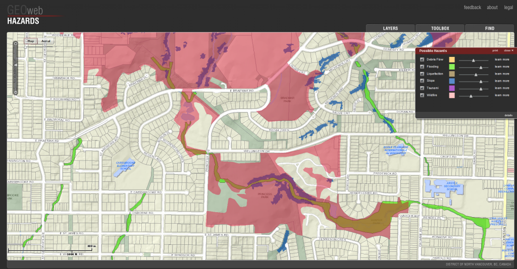
District of North Vancouver GIS

http://www.geoweb.dnv.org/
A collection of interactive maps can be found on this website which show history, hazards, properties, projects and solar information for Vancouver.
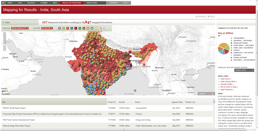
World Bank

http://maps.worldbank.org/sa/india
The World Bank has a great online data portal and interactive maps which have a wealth of information on projects, poverty, aid, income, gender distributions and much more.
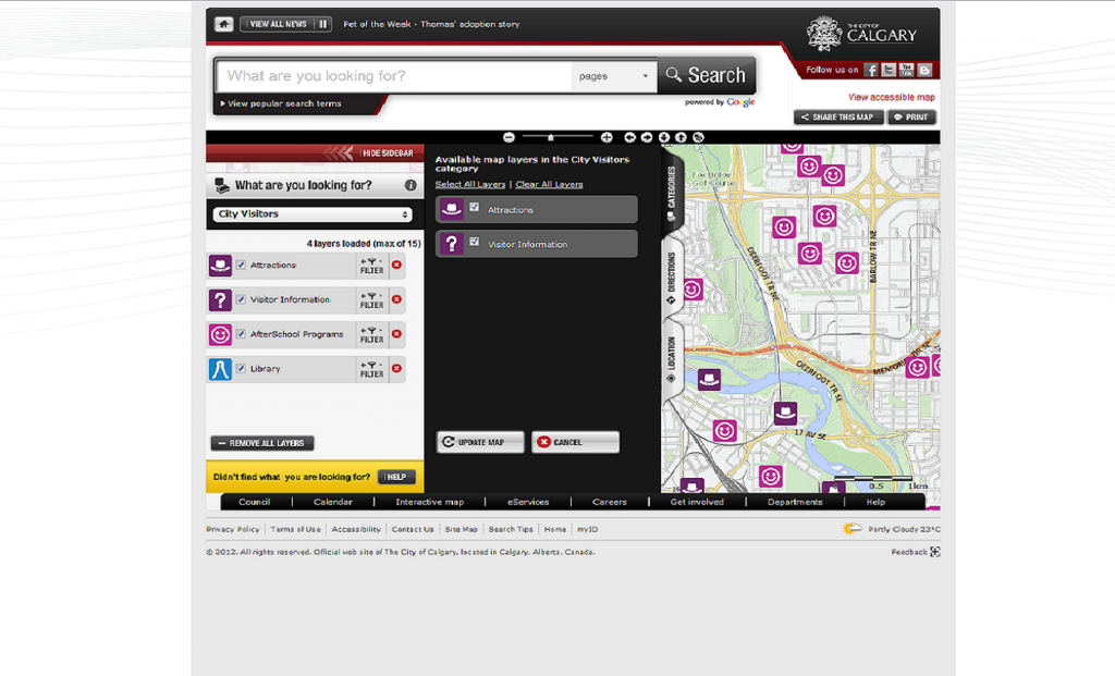
City of Calgary

http://www.calgary.ca/_layouts/cocis/calgarymap/calgarymap.aspx
The City of Calgary has a great interactive map with multiple categories with information on tourism, services, community, transport and more.
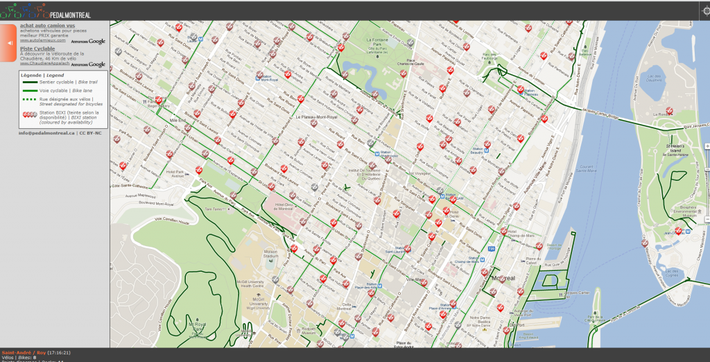
Pedal Montreal

http://www.pedalmontreal.ca/
A site whose only purpose is to tell the user how many BIXI bikes are at each BIXI station on a live map.
