By Drew Bush
On day three the big issues discussed included using crowdsourcing in governance and the idea’s future in the public sector. By the end of the day, one of our student groups, GeoOne, had been crowned the winner by City of Ottawa officials and each of its members presented with a trophy in the image of Geothink’s logo, printed by a three-dimensional printer.
But first, Daren Brabham, assistant professor in the University of Southern California Annenberg School of Journalistm and Communication, offered the students caution.
In a morning discussion, he reminded students not all crowdsourcing endeavours have been successes, and that flaws in some crowdsourced data mean it has limitations, as was pointed out on day two. Furthermore, one must consider traditional forms of data collection in comparison to crowdsourcing, he said, because whole institutions and professions exist to support such data collection’s objectivity.
For Brabham, however, this doesn’t mean crowdsourced data should be discredited. In fact, many aspects of the technology ensure it’s a very democratic way of making decisions and collecting data.
“It is easy to point to reasons why we shouldn’t be doing something, when you are in an established position of power and when you have a profession that you have built,” he said. “And I think this gets to maybe a more controversial point, and that’s—I see professionalism and the professions as really just ways to hold onto power.”
Check out more on Brabham’s views of the democratizing impact of crowdsourced data in the clip below:
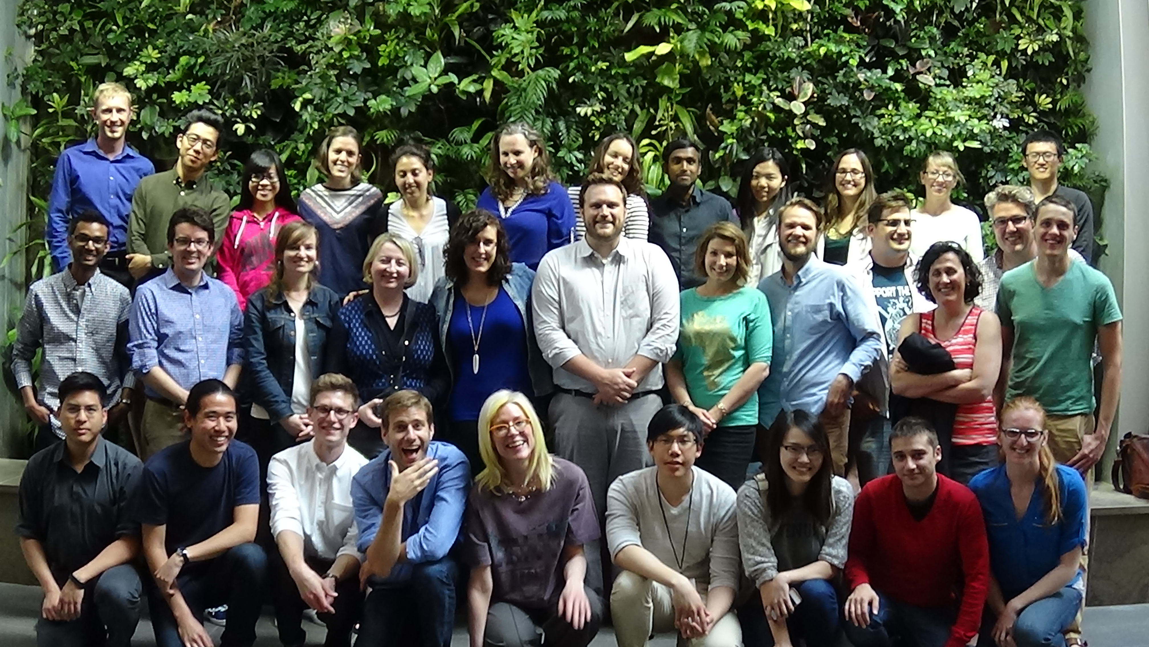
The rest of the day leading up to the presentations was given over for students to fine-tune their pitches for the City of Ottawa and finalize their presentations themselves. Seven groups competed: GeoOne, GeoPlay, GeoWild, Grads Gone Ottawild, Ministry of Municipal Engagement, Terra Solutions and Wild VASS.
The excitement in the room before the first presenters began was palpable. This may have stemmed, in part, from the realization that the City of Ottawa and its citizens needed actual help rather than this being just some academic exercise. For some students, this meant the stakes were higher.
“It’s good that it’s rooted in something real,” Victoria Fast, a Ph.D. Candidate at Ryerson University in the Department of Environmental Applied Science and Management, said. “And I think that makes it more motivating to come up with something as good as possible because if they implement it, it improves how people are finding natural resources in their community and it can make things better for everybody.”
Each of the group’s proposals were designed to be used on mobile devices, a Web site, and often a combination of both. Many groups used maps to help citizens geo-locate themselves in relation to the city’s parks. However, how users were asked to contribute and in what forms varied greatly from one group’s app where users would vote on badges for particular uses at each park to another’s creation of ‘mad-lib’ story forms where users filled in the word for each park visit. Check out each of the student groups’ final presentations here:
GeoOne (Winner)
GeoPlay
GeoWild
Grads Gone Ottawild
Ministry of Municipal Engagement
Terra Solutions
Wild Vass
Stay tuned for more iTunes podcasts from the Summer Institute here, and, of course, watch more of our video clips (which we’ll be uploading in coming days) here.
If you have thoughts or questions about this article or the video content, get in touch with Drew Bush, Geothink’s digital journalist, at drew.bush@mail.mcgill.ca.

