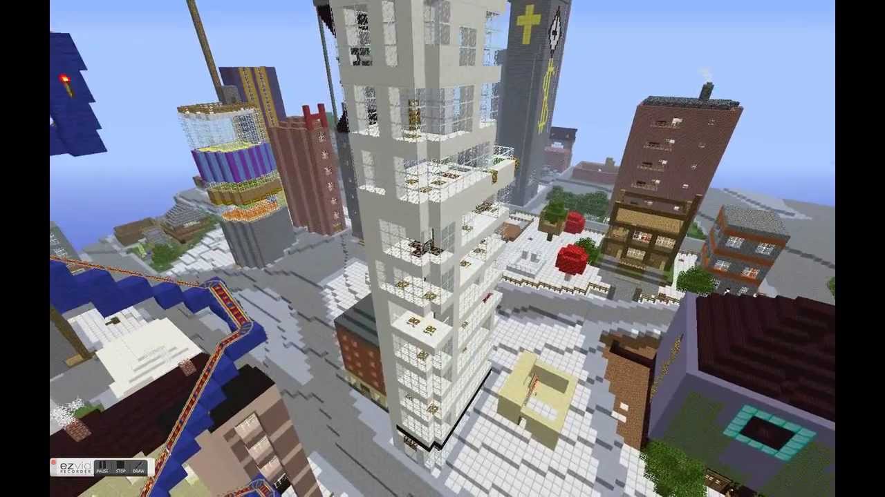
Minecraft users envisioned the City of Stockholm in Sweden the way they wanted it to be using the popular game.
By Drew Bush
When the New York Times recently ran a ten page magazine story on The Minecraft Generation, it focused primarily on young users learning basics of computer science through their engagement with this software. For two Geothink researchers, harnessing youth enthusiasm for this tool is also central to helping cities make better planning decisions.
For the un-initiated, Minecraft isn’t so much a game but rather a destination, a technical tool, and a cultural scene all rolled into one program. Children who use it can engineer complex machines, model the world in cube-like form, shoot and post YouTube videos of their work, and setup servers to hang out on with their friends.
The software launched by Mojang (a Swedish game studio) in 2009 now boasts more than 100 million users. Microsoft recently bought it and Mojang for a record $2.5 billion.
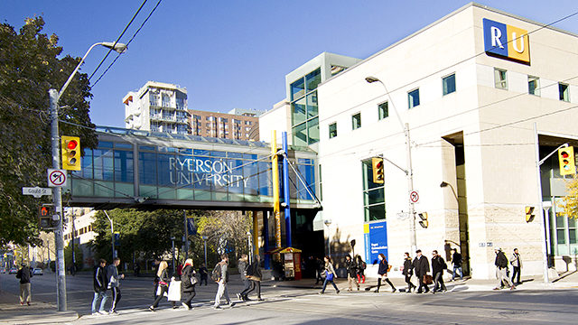
Lisa Ward Mather studied Minecraft’s possible application to urban planning as a master’s student with Geothink Co-Applicant Pamela Robinson, associate dean in Ryerson University’s School of Urban and Regional Planning. In 2014, she was recognized for community engagement in her thesis work with a Ryerson Gold Medal.
“It was basically an exploratory study, sort of, where I went and spoke to planners and engagement specialists and asked them to what degree and in what context they thought that Minecraft could be a useful tool for planners to use for engagement,” she said. “I interviewed twelve people and came up with some really rich responses, actually.”
Many of the experts she spoke with during her master’s research project were senior-level and had not necessarily had much, if any, experience actually working with the Minecraft program. To ensure they adequately understood the software, Mather created a video that explained the game, what it looked like and the various activities users could undertake. The video also featured unique projects.
“Such as something called Blockholm,” Mather said. “Which was, in the city of Stockholm, they brought in infrastructure related to Minecraft. And then they allowed or gave away plots of land within the Minecraft city for people to build what they thought the city should be. It was a project that was sort of a visioning project. And they ended up building things in real life and having a museum exhibit that people could wander around in.”
Educating Young Students in the Virtual Minecraft City of Toronto
Mather is not alone in researching the power of Minecraft to empower communities in urban planning decisions that can affect their daily lives. For an internship at the chief planner’s office with the City of Toronto, another one of Robinson’s students, Jacky Li, helped the city initiate an educational program that envisions the entire city built in Minecraft.
A master’s student from the University of Ryerson had written a report on how using Minecraft might be effective as an educational and planning tool for work with young children. For his own work during the summer of 2015, Li assessed the technical challenges the city would need to overcome to engage students in the school system in envisioning complete communities through Minecraft.
He describes the software as a “popular computer game where you basically craft things.” It’s analogous to “Lego,” he said, “but on your computer, or on your Xbox or PlayStation, or on your mobile phone.”
Li examined examples in Sweden of architects and city planners collaborating to better design a suburb and learned from users at Niagara College in Welland, Ontario how to translate GIS data into the program.
“At the end of it what I made for the city of Toronto was a report that said how to build like the sub-server, how to host it, and some potential programming they can do with children,” Li said. “Like a floor-area ratio exercise where you can imagine density. So if you’re given solar power, how many blocks can you build different kinds of built forms on depending on the criteria [of the power].”
Find a sample of the report Li wrote here.
The Minecraft Generation Becomes Today’s City Planners
Minecraft not only engages users with its simple design in educational settings but also in envisioning how to plan for future changes in a city. Both Mather and Li ask practical questions about the utility of a program like Minecraft beyond its entertainment value.
Mather’s master’s set the stage by asking planners about the obstacles and benefits to Minecraft to determine contexts in which such software might be useful. Since the conclusion of this work, she’s also found interest in her work from the chief planner’s office at the City of Toronto.
In a recent project she tested her own skills with Minecraft—something she had not done previously. The city sent her Google SketchUp files of a corridor in Toronto that she used to produce a Minecraft world. In particular, she created a 3-D model of what the corridor looked like now, in the near future with more mid-rise buildings and in the far future when it’s lined with such buildings.
“It was not a detailed world in the sense that the building didn’t have windows and stuff like that,” she said. “Because it was just a model that came from Sketchup, it was not a very detailed, the file I brought in was not, did not have that kind of nuance to it. Of course, bringing, the complexity of bringing something into Minecraft is you can’t necessarily determine the kind of material it’s made out of. Every individual part of the building would be the same material. So I ended up with a stone world, of the corridor and surrounding buildings.”
Even so, she found this small project very interesting and hopes to continue the work. Such research embraces the potential of new media in improving urban planning decisions. (For more, see our story on using open data to revolutionize urban planning decisions.)
If you have thoughts or questions about this article, get in touch with Drew Bush, Geothink’s digital journalist, at drew.bush@mail.mcgill.ca.