-

- This year’s American Association of Geographers (AAG) Annual Meeting was held in San Francisco, CA. (Photo courtesy of Victoria Fast.)
-

- This year’s meeting included a panel on Gender & GIScience which featured Geothinkers Renee Sieber and Sarah Elwood. (Photo courtesy of Victoria Fast.)
-
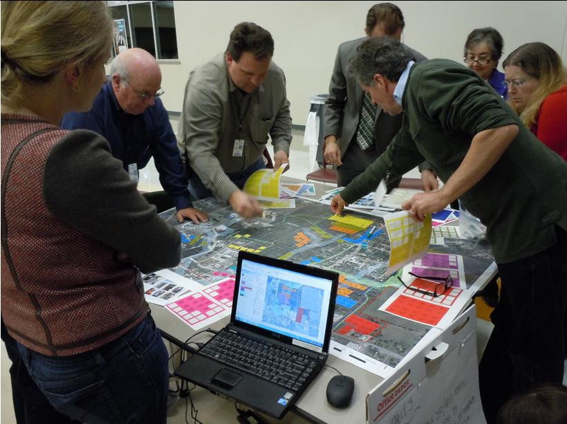
- Geothink Student Suthee Sangiambut presented his research for the first time. (Photo courtesy of Victoria Fast.)
By Drew Bush
From March 29 to April 2, 2016, Geothink’s students, co-applicants, and collaborators presented their research and met with colleagues at the now concluded 2016 Association of American Geographers (AAG) Annual Meeting in San Francisco, CA. Over the week, Geothinkers gave 11 presentations, organized six sessions, chaired five sessions, and were panellists on four sessions. See who attended here.
“This year’s AAG provided a great opportunity to get geographically diverse Geothinkers together,” Victoria Fast, a recently graduated doctoral student in Ryerson University’s Department of Geography and Environmental Studies, wrote in an e-mail to Geothink.ca. “I can’t think of a better place for a meeting about a special journal issue on open data; there are so many fresh, uncensored ideas flying around the conference, both inside and outside of sessions.”
Of particular note for Fast was Panel Session 1475 Gender & GIScience (see her Geothink.ca guest post here). Panelists in the session included Geothink Head Renee Sieber, associate professor in McGill University’s Department of Geography and School of Environment; And, Geothink collaborator Sarah Elwood, a professor in University of Washington’s Department of Geography.
Others agreed.
“A panel on gender and GIScience was refreshing and enlightening,” Geothink Co-Applicant Scott Bell, a professor of Geography and Planning at University of Saskatchewan, wrote to Geothink.ca.
“My presentation was in a day long symposium on human dynamism,” he added. “It summarized a recently published Geothink aligned paper on human mobility tracking and active transportation (published in the International Journal of Geographical Information Science). It seemed to go over pretty well, I’m glad I was in the day-long event as the room was packed most of the day.”
For others, the high cost of the location meant they couldn’t stay for a full week or attend every single session. Still they reported good turnout by members of the Geothink team.
“This year we did not organize a specific panel or panels, or specific sessions to showcase Geothink work,” wrote Geothink Co-Applicant Teresa Scassa, Canada Research Chair in Information Law and professor in the Faculty of Law at the University of Ottawa. “This meant that our presentations were dispersed across a variety of different sessions, on different days of the week.”
Many Geothinkers were also intimately involved in running parts of the conference.
“This was a standout AAG for me,” wrote Geothink researcher Alexander Aylett, a professor and researcher at the Institut national de la recherche scientifique, who ran three sessions (Find an overview of what Aylette’s sessions did at www.smartgreencities.org). “In collaboration with Andrés Lluque-Ayla from Durham University we ran a full day of sessions on the overlap between “Smart” and “Sustainable” cities. We had some excellent presentations—including one from fellow Geothinker Pamela Robinson—and a strong turn out throughout the whole day. (Even at 8 AM, which was a shock to me!).”
For some students, it was the first time they had attended the meeting or presented their own research.
“This was my first time at the AAG,” said Geothink Newsletter Editor, Suthee Sangiambut, a maser’s student in McGill University’s Department of Geography with Sieber. “I was quite excited to be at the event and was able to meet all kinds of geographers, all of whom had different ideas on what geography exactly is.”
“It was great to see how global events of the past years were shaping our discussions on the Geoweb, privacy, surveillance, national identity, immigration, and more,” he added. “Those at the Disrupt Geo session were able to hear perspectives from private sector and civil society sides, which was quite refreshing and is something I would like to see more of in the future.”
The AAG annual meeting has been held every year since the association’s founding in 1904. This year’s conference included more than 9,000 attendees.
If you have thoughts or questions about this article, get in touch with Drew Bush, Geothink’s digital journalist, at drew.bush@mail.mcgill.ca. We also want to thank Victoria Fast for her willingness to share photos from the 2016 AAG Annual Meeting.
Please find an abstract for the presentation mentioned in this article below.
Leveraging Sensor Networks to Study Human Spatial Behavior
Abstract:
In the past decade society has entered a technological period characterized by mobile and smart computing that supports input and processing from users, services, and numerous sensors. The smartphones that most of us carry in our pockets offer the ability to integrate input from sensors monitoring various external and internal sources (e.g., accelerometer, magnetometer, microphone, GPS, wireless internet, Bluetooth). These relatively raw inputs are processed on the phones to provide us with a seemingly unlimited number of applications. Furthermore, these raw inputs can be integrated and processed in ways that can offer novel representations of human behavior, both dissagregate and aggregate. As a result, new opportunities to examine and better understand human spatial behaviour are available. An application we report here involved monitoring of a group of people over an extended period of time. Monitoring is timed at relatively tightly spaced intervals (every 2 minutes). Such a research setting lends itself to both planned and natural experiments; the later of which emerge as a result of the regular and on going nature of data collection. We will report on both a natural experiment and planned observations resulting from 3 separate implementations of our smartphone based observations. The natural experiment that emerged in the context of our most recent month-long monitoring study of 28 participants using mobile phone-based ubiquitous sensor monitoring will be our focus, but will be contextualized with related patterns from earlier studies. The implications for public health and transportation planning are discussed.