By Drew Bush
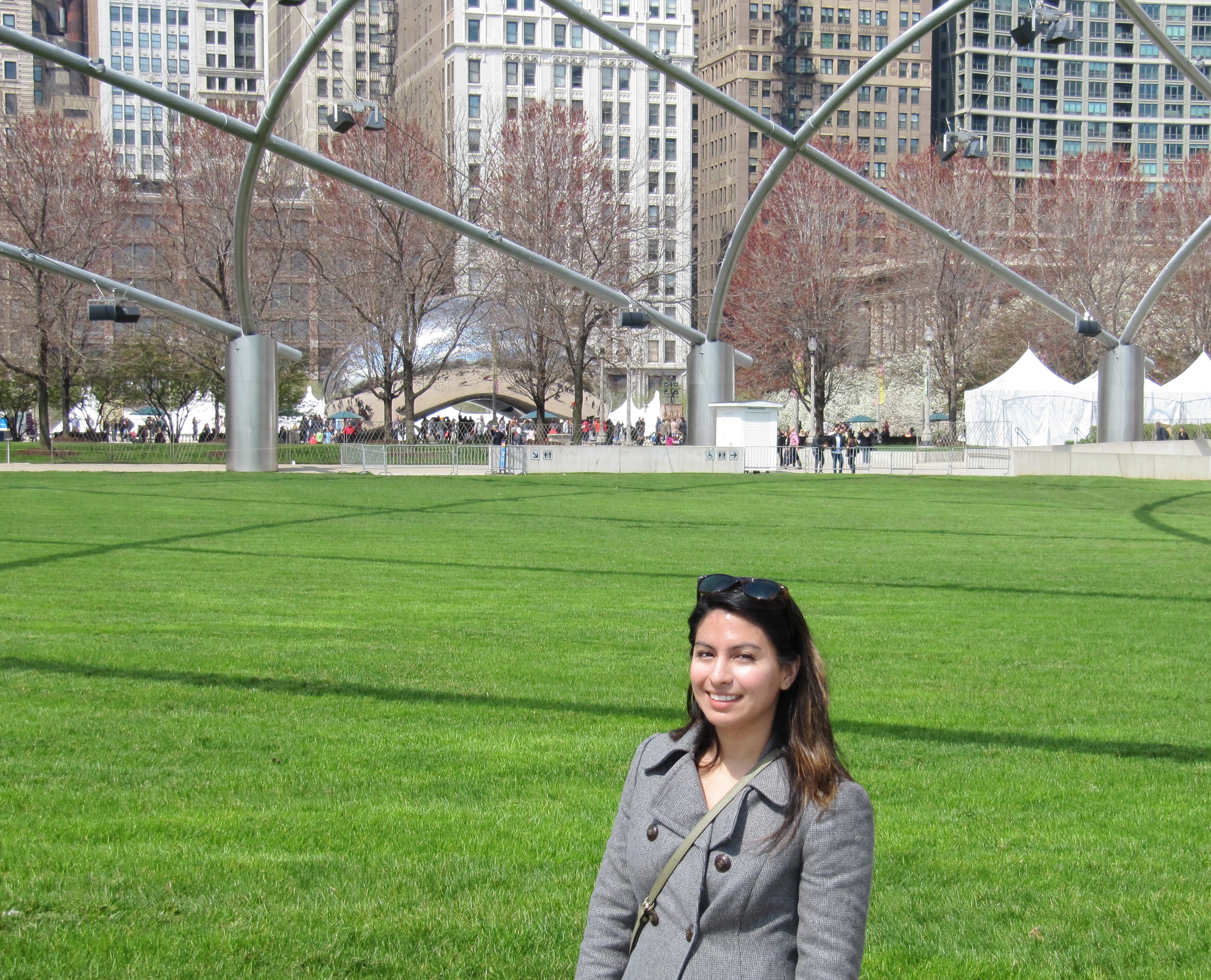
Andrea Minano at the Association of American Geographers (AAG) Annual Meeting in Chicago, Illinois.
From April 21 to April 25 2015, Geothink’s students, team, and collaborators presented their research and met with colleagues in Chicago, Illinois at the now concluded 2015 Association of American Geographers (AAG) Annual Meeting. Over the week, Geothinkers gave 16 presentations, ran a panel discussion, presented posters, organized and chaired four sessions, and gave two plenary speeches. See who attended here.
“The AAG is always an excellent conference but this year I think was the best one I’ve attended,” Harrison Smith, a PhD candidate at the University of Toronto, wrote in an e-mail to Geothink.ca. “The Geothink community was in full force and we gave some excellent presentations that definitely put us on the map.”
Of his own work, Harrison reported positive results as well. Find his abstract here and below.
“I received some very excellent questions and positive feedback from the audience,” he added. “I have also been given the opportunity to further develop my paper into a journal article for peer-review by the invitation of a member of the audience, and so I will continue to develop this research for Geothink and the larger academic community.”
Others held a similar opinion of the conference that attracted over 4,500 presentations, posters, workshops, and field trips by leading scholars, experts, and researchers in the field.
“Fabulous,” Claus Rinner, an associate professor at Ryerson University, wrote of this year’s conference. He noted that a poster he presented with his graduate student Victoria Fast “was quite an important piece for me, as it juxtaposed two of our very recent ‘results’ with those of a former student, all meant to better frame future VGI and Geoweb research.”
Geothink collaborator Muki Haklay, professor at University College London, also hosted the session entitled Beyond motivation? Understanding enthusiasm in citizen science and volunteered geographic information and two more sessions on OpenStreetMap Studies. He wrote extensively about these sessions and the conference on his own personal blog as well.
“As you can tell from all the blogging that I’ve done, it went really well,” he wrote in an e-mail to Geothink.ca. “The Public Participation GIS and Citizen Science sessions that I’ve attended, and the OpenStreetMap Studies sessions were all very interesting and stimulating, and helped to progress the thinking in these areas.”
Geothink held its pre-conference workshop on Monday, April 20 entitled “Citizen-Government Relations for a Digitally-Enabled and Location-Aware World.” Presentations included those by Scott Bell, Piotr Jankowski, Renee Sieber and one by Ashley Zhang, Rob Feick and Stephane Roche among others.
“I was fascinated by Professor [Teresa] Scassa’s research on the legal issues when we open up transit data,” Sieber wrote to Geothink.ca about a workshop she said exposed everyone “to the sheer diversity of Geothink, from apps that enable the sharing economy, to privacy implications of transit data, to the participatory potential of civic hackathons, to graphical user interfaces for the intellectually disabled, to the frontier of urban citizen science.”
Discussions included plans for two forthcoming books, the first an empirical book devoted to findings and the second a compilation of essays on the future of the Geospatial web and open data. Find out more about the presentations and plans in the most recent edition of the newsletter.
For some, giving a presentation at the AAG itself led to important reunions with colleagues while also providing opportunities for new experiences.
“While in Chicago, I re-connected with fellow Geothink partners, engaged with a series of scholars who have influenced my research, attended my first mapathon, and met those working in the geospatial industry,” Andrea Minano, a masters candidate at Waterloo University, wrote. “Overall, this experience exceeded my expectations and I am thankful for the opportunity to network with such a vast range of individuals working in the field of geography.”
The AAG annual meeting has been held every year since the association’s founding in 1904.
Please find abstracts for presentations mentioned in the article below.
“Smart cities should mean sharing cities”: Situating smart cities within the sharing economy
By Harrison Smith, University of Toronto
Abstract:
This paper situates smart cities within a larger global movement of the sharing economy. The sharing economy, exemplified by services such as airbnb.com and Uber, has emerged as a new niche in entrepreneurial capitalism and global consumer culture that targets highly mobile populations, and exploits web 2.0 mapping technology and location based services that have become increasingly necessary to navigating smart cities. This has not only brought forth questions of how incumbent service providers such as hotels and taxi companies will respond to such competition in the market, but also the underlying regulatory challenges for municipalities, particularly as many sharing economy enthusiasts press for libertarian self-regulation. This paper seeks to: 1) situate smart cities within a sharing economy by focusing on the cultural and affective relations between cities, global capitalism, and geo-spatial media; 2) outline the discourses of regulating the sharing economy as it presented by incumbent service providers, municipalities, and sharing economy entrepreneurs; and 3) to present preliminary findings of a comparative study of various North American cities as they have either sought to embrace, regulate, or reject the sharing economy.
Conceptualizing Volunteered Geographic Information and the Participatory Geoweb
By Victoria Fast,* Ryerson University; Claus Rinner, Ryerson University; Blake Byron Walker, Simon Fraser University
Abstract:
Volunteered geographic information (VGI) represents the contribution of local knowledge by citizens through the pathways of the participatory geospatial Web (pGeoweb). These crowdsourced data and user-generated geographic content are gaining influence on government operations, urban and regional planning, and a broad range of societal decisions. Despite this growing influence, there are few conceptualizations of VGI and the pGeoweb.
This poster summarizes our research in three directions: (1) taking a holistic systems perspective on the projects, participants, and Geoweb components employed in creating VGI; (2) examining the effectiveness of public participation on the Geoweb through the study of engagement, empowerment, and enactment processes; and (3) classifying user contributions by data formats and contents types.
Some of our results include the view of VGI as an information product that is well within the realm of GIS concepts of data input, management, analysis, and presentation. We also argue that the term “VGI”, as presently used, should be replaced by volunteered geographic “data” (and/or “content”). Even though pGeoweb projects are often bottom-up initiatives, we posit that there still is a “provider” with (sometimes covert) authority over the project. Finally, we characterize pGeoweb projects by their data/content types, including locations, categorical observations, numeric measurements, parameter settings in models, annotations, narratives, stories, media files, and opinions. Accordingly, we distinguish crowdmapping, citizen sensing, citizen reporting, map-based discourse, and geosocial media applications.
Overall, these three interrelated conceptualizations will strengthen the role of Geographers and GIScientists in the burgeoning field of VGI and pGeoweb research and development.
If you have thoughts or questions about this article, get in touch with Drew Bush, Geothink’s digital journalist, at drew.bush@mail.mcgill.ca.